Horton, Queensland
Horton is a rural town and a locality in the Bundaberg Region, Queensland, Australia.[2][3] In the 2016 census, Horton had a population of 158 people.[1]
| Horton Queensland | |||||||||||||||
|---|---|---|---|---|---|---|---|---|---|---|---|---|---|---|---|
 Horton | |||||||||||||||
| Coordinates | 25.2261°S 152.3197°E | ||||||||||||||
| Population | 158 (2016 census)[1] | ||||||||||||||
| • Density | 10.60/km2 (27.46/sq mi) | ||||||||||||||
| Postcode(s) | 4660 | ||||||||||||||
| Area | 14.9 km2 (5.8 sq mi) | ||||||||||||||
| Time zone | AEST (UTC+10:00) | ||||||||||||||
| LGA(s) | Bundaberg Region | ||||||||||||||
| State electorate(s) | Burnett | ||||||||||||||
| Federal Division(s) | Hinkler | ||||||||||||||
| |||||||||||||||
Geography
The Bruce Highway forms the southern boundary of the locality.[4]
History
The town was possibly named after sugar planter George Horton.[2][3]
Horton State School opened about 1888. In 1900 it was renamed Doolbi State School. The school closed in 1953.[5]
References
- Australian Bureau of Statistics (27 June 2017). "Horton (SSC)". 2016 Census QuickStats. Retrieved 20 October 2018.

- "Horton - town in Bundaberg Region (entry 16326)". Queensland Place Names. Queensland Government. Retrieved 10 June 2019.
- "Horton - locality in Bundaberg Region (entry 44728)". Queensland Place Names. Queensland Government. Retrieved 10 June 2019.
- "Queensland Globe". State of Queensland. Retrieved 7 July 2017.
- Queensland Family History Society (2010), Queensland schools past and present (Version 1.01 ed.), Queensland Family History Society, ISBN 978-1-921171-26-0
External links
- "Horton". Queensland Places. Centre for the Government of Queensland, University of Queensland.
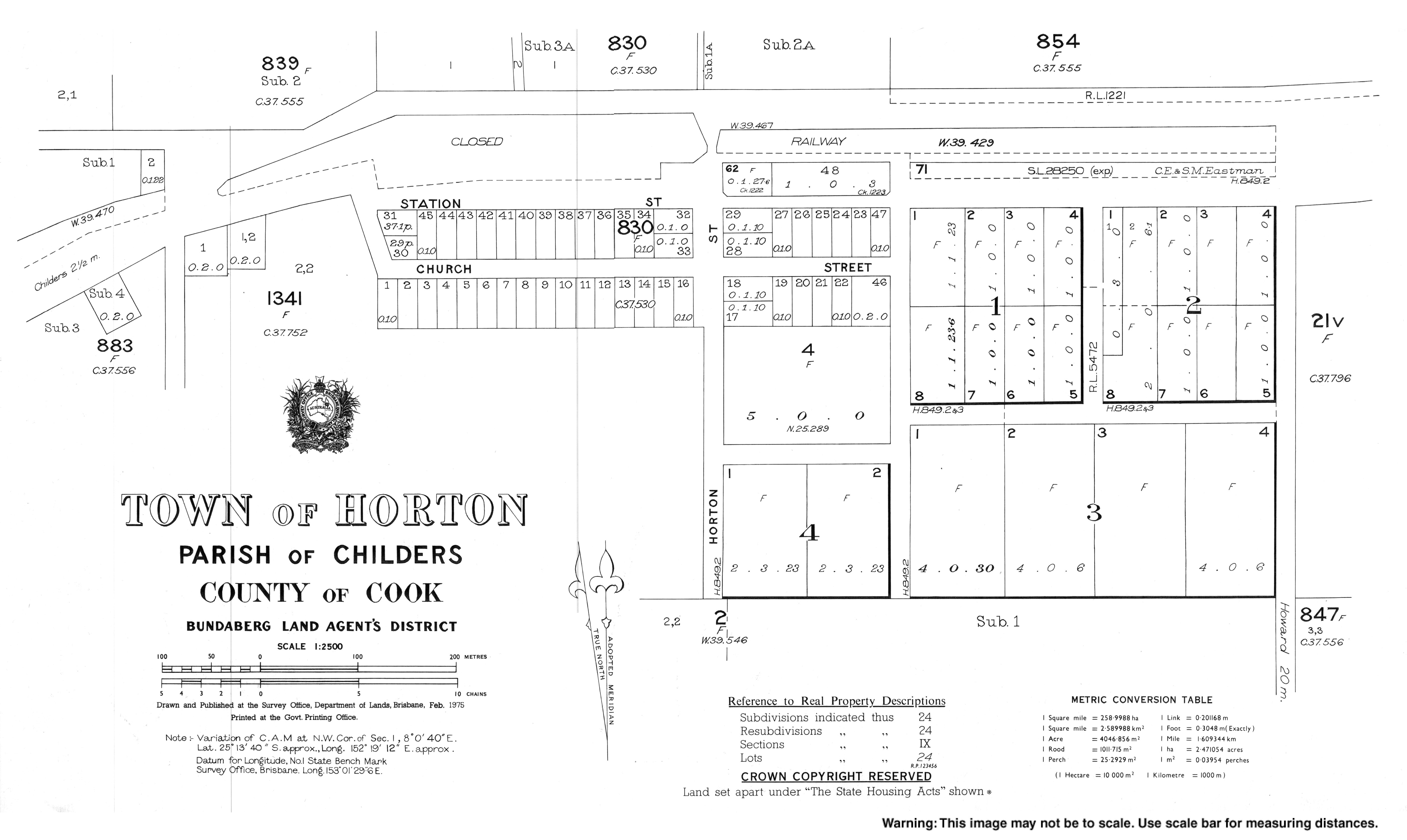
- Town map of Horton, 1975
This article is issued from Wikipedia. The text is licensed under Creative Commons - Attribution - Sharealike. Additional terms may apply for the media files.