Greynolds Park
Greynolds Park is a 265-acre (1.07 km2) urban park in metropolitan Miami, just north of North Miami Beach, Florida, United States.
| Greynolds Park | |
|---|---|
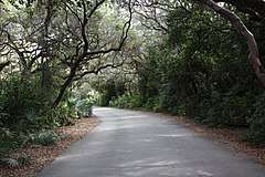 Pavement toward park golf course | |
| |
| Type | Municipal |
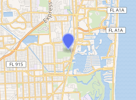
| Location | Miami, Miami-Dade County, Florida, United States |
| Area | 265 acres (1.07 km2) |
| Created | 1933 |
| Operated by | Miami-Dade County Parks and Recreation Department |
| Website | Greynolds Park |
History
In 1933 A. O. Greynolds donated the tract of land, originally used as a limestone quarry, to Dade County.[1] The park was developed between 1936 and 1939 by the Civilian Conservation Corps as a part of the New Deal public works program.[2]

In 1979, the Youth Conservation Corp constructed the Oleta River Nature Trail and wooden footbridge on the shallows of the Oleta River through the mangroves.
Facilities
The park offers various amenities, including picnic and recreation areas, a golf course, a bird rookery, a boathouse, and a 42-foot (13 m) mound, the highest point in South Florida.
The boathouse features a nature exhibit and offers interpretive programs including guided (or unguided) nature walks, lectures, campfires and more. Kayak, canoe and paddleboat rentals are available on weekends and holidays.
References
- "Greynolds Park is Given 100 Acre Addition". Miami Daily News. 29 July 1934. Retrieved 4 May 2011.
- Buddy Nevins (1 January 1989). "Passive Greynolds Park Needs Active Life, Study Says". South Florida Sun-Sentinel. Retrieved 4 May 2011.