Gramos
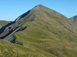
Gramos (Albanian: Gramoz, Mali i Gramozit; Aromanian: Gramosta, Gramusta; Greek: Γράμος or Γράμμος) is a mountain range on the border of Albania and Greece. The mountain is part of the northern Pindus mountain range. Its highest peak, at the border of Albania and Greece, is 2,520 m (8,268 ft).[1] The region is inhabited by Albanians, Aromanians and Greeks.
| Gramos | |
|---|---|
 The south face of the mountain | |
| Highest point | |
| Elevation | 2,520 m (8,270 ft) [1] |
| Coordinates | 40°20′54″N 20°46′46″E |
| Naming | |
| Pronunciation | Albanian pronunciation: [ˈɡɾamɔs] Greek: [ˈɣramos] |
| Geography | |
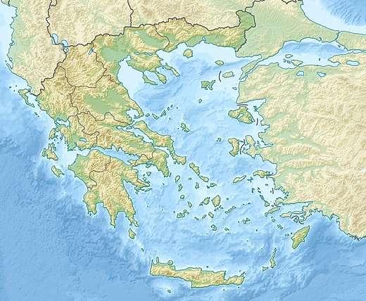
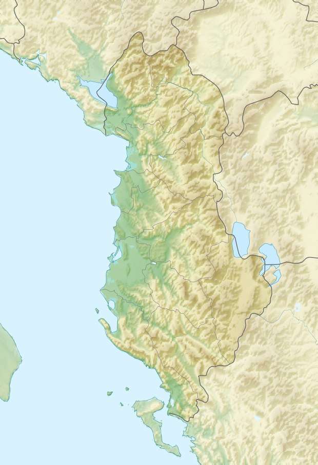
 Gramos Location in Greece  Gramos Gramos (Albania) | |
| Location | Southeastern Albania, northwestern Greece |
The brown bear occurs in the region.[2]
Geography
The Gramos is situated on the borders of the Kolonjë district of Albania and the Ioannina and Kastoria regional units of Greece. Three ridges join at its highest peak, running towards the north, southwest and east. The Gramos is drained towards the west by the river Osum, towards the northwest by the Devoll, towards the northeast by the Aliakmonas and towards the south by the Sarantaporos. The Gramos is very sparsely populated, the only sizable town being Ersekë (Albania) at its western foot. Other villages in the mountains are Gramos (northeast), Aetomilitsa (southeast), Starje (west) and Plikati (south). Nearby mountain ranges are the Smolikas to the south, Voio to the east and Ostrovicë to the northwest.
History
The mountain was a major communist stronghold in the Greek Civil War. Napalm B was also used during the Greek Civil War between the Greek Army and Communist rebels. During the last year of this Civil War, 1949, the United States increased its military aid to the Greek Government by introducing a new weapon to finish off the war: napalm B. (See also: greek fire) The first napalm attack in Greece took place on the mountain of Grammos, which was the stronghold of the Communist rebels. The provisional democratic government (i.e. the communist government) had its headquarters in the vicinity. It fell to the national government only in 1949, bringing the near conclusion of the Greek Civil war since after its fall only isolated pockets were left in communist control. The mountain still has live minefields from the civil war despite decades of demining and access to parts of the mountain is perilous.
References
- Oreivatein.com
- IUCN, European Green Belt. "The Green Belt of Europe From Vision to Reality" (PDF). europeangreenbelt.org. p. 80. Archived from the original (PDF) on 2015-10-18. Retrieved 2018-07-15.