Valamara
The Valamara (Albanian: Mali i Valamarës) is a mountain of the Central Mountain Range in Southeastern Albania.[1] The mountain is roughly part of a series of mountains, extending from north-northeast to south-southwest between the valleys of Shkumbin in the north and Devoll in the south. It is one of the highest peaks in the European continent, in terms of topographic prominence.[2]
| Valamara Mali i Valamarës (Albanian) | |
|---|---|
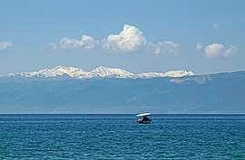 The mountains seen from the Lake of Ohrid. | |
| Highest point | |
| Elevation | 2,373 m (7,785 ft) |
| Prominence | 1,526 m (5,007 ft) |
| Listing | Ultra |
| Coordinates | 40°47′41″N 20°28′00″E |
| Geography | |
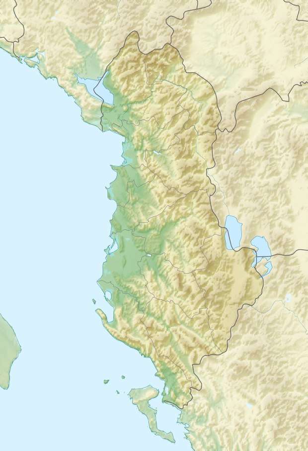
| Location | Elbasan and Korçë County, Albania |

There is a rich evidence of previous glaciation in the highest parts of the mountains as glaciers covered the mountains and created its cirque-shaped lakes and depressions.[3] There are at least eight glacial lakes across the mountain range.[4] The eastern edge of the mountain gives rise to several rivers amongst them the third longest river of the country, the Shkumbin.[5][6] The western and southern edges of the mountain are drained by Devoll, which has formed a deep gorge between the mountains.
Near the main ridge of Valamara there are very few trees while Valamara's lower slopes are forested. To the south there are many glacial lakes which are tourist attractions. Brown bears has been observed in the mountain region.[7]
Nearby towns and villages
- Lenie
- Pogradec
- Strelcë
- Grabovë e Poshtme
- Grabovë e Sipërme (Grabova)
- Bicaj
Some peaks on Valamara Mountain
- Maja e Valamarës (2373 m)
- Maja e Gurit të Topit (2120 m)
- Mali i Lenies (2012 m)
See also
- Mountains of Albania
- Geology of Albania
- Geography of Albania
References
- "Maja e Valamares, Albania". Peakbagger.com. Retrieved 2014-05-25.
- "EUROPE ULTRA-PROMINENCES". peaklist.org.
- Mevlan Kabos (1991). "Malet midis luginës së Shkumbinit dhe luginës së Devollit". Gjeografia fizike e Shqipërisë (in Albanian) (Akademia e Shkencave e RPS të Shqipërisë ed.). Tirana. p. 253.
- "The vascular flora of the Valamara mountain range (SE Albania), with three new records for the Albanian flora" (PDF). researchgate.net. pp. 1–17.
- Perikli Qiriazi. "Shkumbini". Gjeografia Fizike e Shqipërisë. Tirana: Shtëpia Botuese e Librit Universitar. p. 103. ISBN 99927-0-397-0.
- Mevlan Kabos (1990). Gjeografia fizike e Shqipërisë (Akademia e Shkencave e RPS të Shqipërisë ed.). Tirana. p. 237.
- "Brown Bear Conservation Action Plan for the Prespa Lakes' Watershed". researchgate.net. p. 26.