Gore, Queensland
Gore is a town and a locality in the Goondiwindi Region, Queensland, Australia.[2][3] In the 2016 census, Gore had a population of 36 people.[1]
| Gore Queensland | |||||||||||||||
|---|---|---|---|---|---|---|---|---|---|---|---|---|---|---|---|
 Gore | |||||||||||||||
| Coordinates | 28.2938°S 151.4897°E | ||||||||||||||
| Population | 36 (2016 census)[1] | ||||||||||||||
| LGA(s) | Goondiwindi Region | ||||||||||||||
| State electorate(s) | Southern Downs | ||||||||||||||
| Federal Division(s) | Maranoa | ||||||||||||||
| |||||||||||||||
Geography
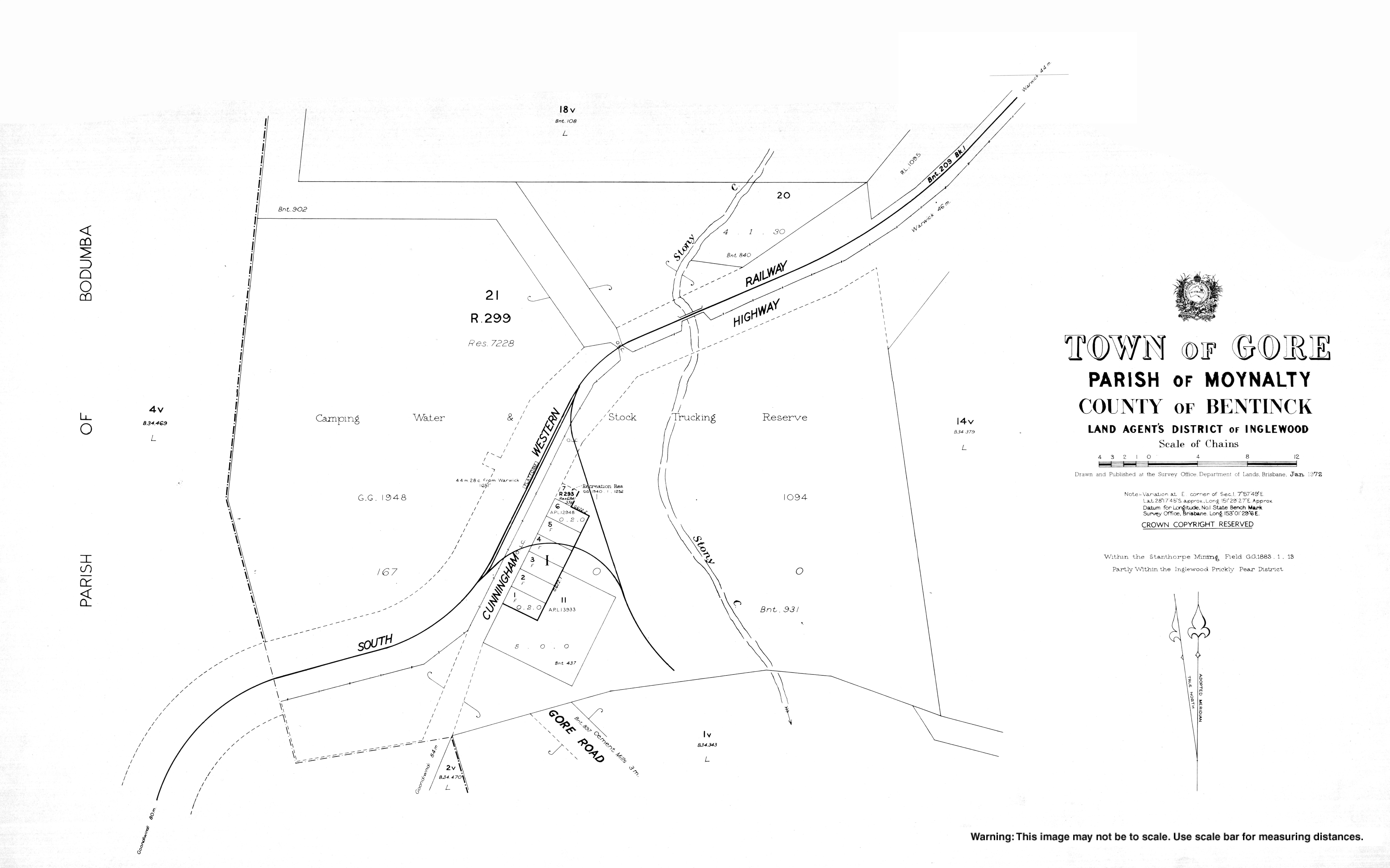
The Cunningham Highway passes through the locality from the east to the south-west. The South Western railway line also passes through the locality roughly parallel to the highway. The town of Gore is located on the south-eastern boundary of the locality and both the highway and the railway pass through it with the town being served by Gore railway station.[4][5]
History

The town was named after St George Richard Gore, the original lessee of Yandilla pastoral run in 1842.[3]
Gore State School opened on 20 January 1913. In 1927 it became Maxhill State School and then in 1937 Cement Mills State School. It closed in 1975.[6] (NOTE: The locality of Cement Mills is immediately to the south-east of Gore)
Education
There are no schools in Gore. The nearest primary schools are in Karara and Inglewood. The nearest secondary school is in Warwick.[5]
References
- Australian Bureau of Statistics (27 June 2017). "Gore (SSC)". 2016 Census QuickStats. Retrieved 20 October 2018.

- "Gore - town in Goondiwindi Region (entry 14398)". Queensland Place Names. Queensland Government. Retrieved 6 May 2019.
- "Gore - locality in Goondiwindi Region (entry 49641)". Queensland Place Names. Queensland Government. Retrieved 6 May 2019.
- "Gore - railway station in the Goondiwindi Region (entry 14401)". Queensland Place Names. Queensland Government. Retrieved 6 May 2019.
- "Queensland Globe". State of Queensland. Retrieved 6 May 2019.
- Queensland Family History Society (2010), Queensland schools past and present (Version 1.01 ed.), Queensland Family History Society, ISBN 978-1-921171-26-0