El Loa
El Loa Province (Spanish: Provincia El Loa) is one of three provinces of the northern Chilean region of Antofagasta (II). It is named after the longest of rivers in Chile, the Loa River. The provincial capital is Calama.
El Loa Province Provincia El Loa | |
|---|---|
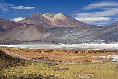 Miscanti Lake | |
 Seal | |
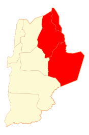 Location in the Antofagasta Region | |
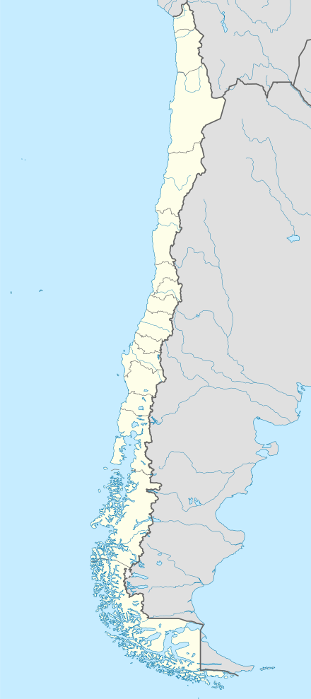 El Loa Province Location in Chile | |
| Coordinates: 22°50′S 68°07′W | |
| Country | |
| Region | |
| Capital | Calama |
| Communes | Calama Ollagüe San Pedro de Atacama |
| Government | |
| • Type | Provincial |
| • Governor | María Bernarda Jopia Contreras (RN) |
| Area | |
| • Total | 41,999.6 km2 (16,216.1 sq mi) |
| Population (2012 Census)[1] | |
| • Total | 142,686 |
| • Density | 3.4/km2 (8.8/sq mi) |
| • Urban | 138,538 |
| • Rural | 5,151 |
| Sex | |
| • Men | 73,970 |
| • Women | 69,719 |
| Time zone | UTC-4 (CLT [2]) |
| • Summer (DST) | UTC-3 (CLST [3]) |
| Area code(s) | 56 + 55 |
| Website | www |
Geography and demography
According to the 2012 census by the National Statistics Institute (INE), the province spans an area of 41,999.6 km2 (16,216 sq mi)[1] and had a population of 142,686 inhabitants, giving it a population density of 3.4/km2 (9/sq mi). It is the sixth largest province in the country. Between the 1992 and 2002 censuses, the population grew by 14.9% (18,610 persons).[1]
Communes
- Calama (capital)
- Ollagüe
- San Pedro de Atacama
References
- "Territorial division of Chile" (PDF) (in Spanish). National Statistics Institute. 2007. Archived from the original (PDF) on 14 November 2010. Retrieved 18 March 2011.
- "Chile Time". WorldTimeZones.org. Archived from the original on 2007-09-11. Retrieved 2010-07-28.
- "Chile Summer Time". WorldTimeZones.org. Archived from the original on 2007-09-11. Retrieved 2010-07-28.
External links
- Governorate of El Loa (in Spanish)
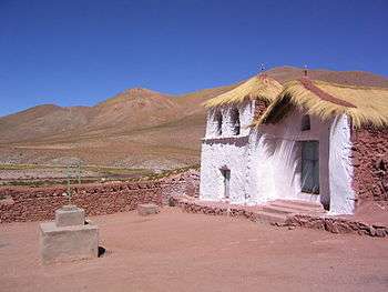
Church in Machuca, El Loa Province

This article is issued from Wikipedia. The text is licensed under Creative Commons - Attribution - Sharealike. Additional terms may apply for the media files.