Darrtown, Ohio
Darrtown is a census-designated place (CDP) in Milford Township, Butler County, Ohio, United States. The population was 516 at the 2010 census.[3]
Darrtown, Ohio | |
|---|---|
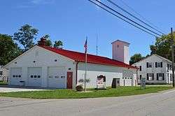 Fire station on State Route 177 | |
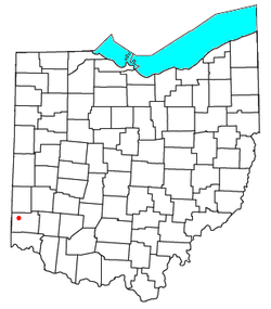 Location of Darrtown in Ohio | |
| Coordinates: 39°29′44″N 84°39′40″W | |
| Country | United States |
| State | Ohio |
| County | Butler |
| Area | |
| • Total | 2.4 sq mi (6.1 km2) |
| • Land | 2.4 sq mi (6.1 km2) |
| • Water | 0.0 sq mi (0.0 km2) |
| Elevation | 742 ft (226 m) |
| Population (2010) | |
| • Total | 516 |
| • Density | 219/sq mi (84.6/km2) |
| Time zone | UTC-5 (Eastern (EST)) |
| • Summer (DST) | UTC-4 (EDT) |
| ZIP code | 45056 |
| FIPS code | 39-20268[2] |
| GNIS feature ID | 1064511[1] |
History
Darrtown was laid out in 1814 by Conrad Darr, and named for him.[4] A post office called Darrtown was established in 1825, and remained in operation until 1907.[5]
Geography
Darrtown is located in northwestern Butler County, in the southwest part of Milford Township, in the valley of Four Mile Creek.
State Route 177 runs through the center of the community, leading 8 miles (13 km) southeast to the city of Hamilton. Oxford is 5 miles (8 km) to the west via Route 177 and Route 73.
According to the United States Census Bureau, the CDP has a total area of 2.4 square miles (6.1 km2), all land.[3]
Notable person
- Walter Alston, former MLB player for the Saint Louis Cardinals and former manager for the Los Angeles Dodgers
References
- "US Board on Geographic Names". United States Geological Survey. 2007-10-25. Retrieved 2008-01-31.
- "U.S. Census website". United States Census Bureau. Retrieved 2008-01-31.
- "Geographic Identifiers: 2010 Demographic Profile Data (G001): Darrtown CDP, Ohio". U.S. Census Bureau, American Factfinder. Archived from the original on February 12, 2020. Retrieved February 21, 2014.
- Bartlow, Bert Surene (1905). Centennial History of Butler County, Ohio. B. F. Bowen. p. 352.
- "Butler County". Jim Forte Postal History. Archived from the original on 25 January 2016. Retrieved 14 September 2015.
External links
- Darrtown.com, community website
Municipalities and communities of Butler County, Ohio, United States | ||
|---|---|---|
| Cities |
| 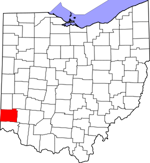 Map of Ohio highlighting Butler County |
| Villages | ||
| Townships | ||
| CDPs | ||
| Unincorporated communities | ||
| Footnotes | ‡This populated place also has portions in an adjacent county or counties | |
This article is issued from Wikipedia. The text is licensed under Creative Commons - Attribution - Sharealike. Additional terms may apply for the media files.