Cotton City, New Mexico
Cotton City is a census-designated place in Hidalgo County, New Mexico, United States. Its population was 388 as of the 2010 census.[1] New Mexico State Road 338 passes through the community.
Cotton City, New Mexico | |
|---|---|
 Cotton City  Cotton City | |
| Coordinates: 32°05′18″N 108°52′45″W | |
| Country | United States |
| State | New Mexico |
| County | Hidalgo |
| Area | |
| • Total | 25.517 sq mi (66.09 km2) |
| • Land | 25.517 sq mi (66.09 km2) |
| • Water | 0 sq mi (0 km2) |
| Elevation | 4,236 ft (1,291 m) |
| Population | |
| • Total | 388 |
| • Density | 15/sq mi (5.9/km2) |
| Time zone | UTC-7 (Mountain (MST)) |
| • Summer (DST) | UTC-6 (MDT) |
| Area code(s) | 575 |
| GNIS feature ID | 899592[2] |
The community was named for its cotton gin, which serves the area's cotton farms.[3]
Geography
Cotton City is located at 32.110063°N 108.880462°W. According to the U.S. Census Bureau, the community has an area of 25.517 square miles (66.09 km2), all of it land.[1]
References
- "2010 Census Gazetteer Files - Places: New Mexico". U.S. Census Bureau. Archived from the original on July 14, 2014. Retrieved August 21, 2014.
- "Cotton City". Geographic Names Information System. United States Geological Survey.
- Julyan, Robert Hixson (January 1, 1996). The Place Names of New Mexico. UNM Press. p. 99. ISBN 9780826316899.
Municipalities and communities of Hidalgo County, New Mexico, United States | ||
|---|---|---|
| City | 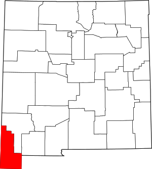 Map of New Mexico highlighting Hidalgo County | |
| Village | ||
| CDPs | ||
| Other unincorporated communities | ||
| Ghost towns | ||
This article is issued from Wikipedia. The text is licensed under Creative Commons - Attribution - Sharealike. Additional terms may apply for the media files.