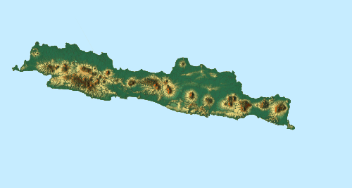
Comal River (Indonesia)
Comal River ia a river in Jawa Tengah, Indonesia.[1][2] It rises in the North Serayu Mountains from Mount Slamet. The river hasil a length of around 109.18 km flowing from south to north, ending in Java Sea. Comal River is the largest river in Pemalang Regency, Central Java; flowing through seven districts within that regency.[3]
| Sungai Comal Kali Comal, Kali Tjomal | |
|---|---|
 Location of river mouth | |
| Location | |
| Country | Indonesia |
| Province | Jawa Tengah |
| Physical characteristics | |
| Source | Gunung Slamet |
| Mouth | Laut Jawa |
⁃ coordinates | 6.7767°S 109.5217°E |
| Length | 109.18 km (67.84 mi) |
| Basin size | 814.35 km2 (314.42 sq mi) |
Geography
The river flows along the central north area of Java with predominantly tropical monsoon climate. The annual average temperature in the area is 25 °C. The warmest month is September, when the average temperature is around 29 °C, and the coldest is March, at 22 °C.[4] The average annual rainfall is 2758 mm. The wettest month is January, with an average of 492 mm rainfall, and the driest is September, with 23 mm rainfall.[5]
Hydrology
Comal River is the main stream in the drainage basin (Indonesian: daerah aliran sungai (DAS) Comal covering an area of 81,435.58 hectare which comprises three administrative regencies: Pemalang, Tegal and Pekalongan.[6] The upstream is located at the border between the villages of Batursari and Penakir in the district of Pulosari and flowing to Java Sea.
Tributaries
Some main tributaries of Comal River are:
- Paingen River
- Gronggang River
- Paku River
- Wakung River
- Lumeneng River
- Polaga River
- Layangan River
- Keruh River
Uses
The inhabitants along the Comal River use the water for agriculture and fisheries, either by traditional fishing or with nets. The downstream is wide enough for small fishermen's boats to sail. The high discharge of the river is also used for irrigation passing some gates or dams, such as Mejagong and Sukowati Dams. The downstream area is also a popular destination for rafting.[7]
References
- Rand McNally, The New International Atlas, 1993.
- Kali Comal at Geonames.org (cc-by); Last updated 4 June 2013; Database dump downloaded 27 November 2015
- Kantor Statistik Kabupaten Pemalang (2008). Pemalang dalam Angka 2008, Pemerintah Kabupaten Daerah Tk. II Pemalang, BPS. Hlm. 246.
- "NASA Earth Observations Data Set Index". NASA. 30 January 2016.
- "NASA Earth Observations: Rainfall (1 month – TRMM)". NASA/Tropical Rainfall Monitoring Mission. 30 January 2016.
- Daerah Aliran Sungai Comal
- Mencicipi Ekstremnya Jeram Hulu Sungai Comal Di Pemalang