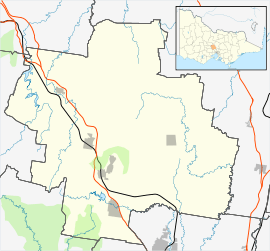
Cobaw, Victoria
Cobaw is a locality in the Macedon Ranges Shire, in Victoria, situated on Dry Creek.
| Cobaw Victoria | |||||||||||||||
|---|---|---|---|---|---|---|---|---|---|---|---|---|---|---|---|
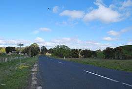 Entering Cobaw | |||||||||||||||
 Cobaw | |||||||||||||||
| Coordinates | 37°16′S 144°38′E | ||||||||||||||
| Postcode(s) | 3442 | ||||||||||||||
| Elevation | 490 m (1,608 ft) | ||||||||||||||
| LGA(s) | Shire of Macedon Ranges | ||||||||||||||
| State electorate(s) | Macedon | ||||||||||||||
| Federal Division(s) | McEwen | ||||||||||||||
| |||||||||||||||
The Cobaw area formerly had its own Post Office and State school,[1] now closed.
Cobaw Post Office opened on 1 December 1887 and closed in 1952.[2]
The Cobaw Range is a section of the Great Dividing Range north of the settlement, running roughly east–west. The ranges are mainly granitic and reach a maximum height of 760m. Most of the western parts of this range are within the boundaries of the Cobaw State Forest.
References
| Wikimedia Commons has media related to Cobaw, Victoria. |
- Victorian Municipal Directory. Brunswick: Arnall & Jackson. 1956. p. 751.
- Premier Postal History. "Post Office List". Retrieved 11 April 2008.
This article is issued from Wikipedia. The text is licensed under Creative Commons - Attribution - Sharealike. Additional terms may apply for the media files.