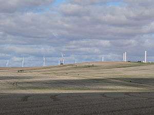
Clements Gap, South Australia
Clements Gap is a locality in South Australia's Mid North. The name is a reference to the co-located pass through the north end of the Barunga Range. The Clements Gap pass in turn is thought to be named after a shepherd in the area prior to 1880, per research by local historian Rodney Cockburn.[2]
| Clements Gap South Australia | |||||||||||||||
|---|---|---|---|---|---|---|---|---|---|---|---|---|---|---|---|
 | |||||||||||||||
 Clements Gap | |||||||||||||||
| Coordinates | 33.524060°S 138.040390°E | ||||||||||||||
| Postcode(s) | 5523 | ||||||||||||||
| Location | 16 km (10 mi) nw of Redhill | ||||||||||||||
| LGA(s) | Port Pirie Barunga West | ||||||||||||||
| County | County of Daly | ||||||||||||||
| State electorate(s) | Narungga[1] | ||||||||||||||
| Federal Division(s) | Grey[2] | ||||||||||||||
| |||||||||||||||
The Clements Gap school was opened in 1880 by John Wauchope and closed in 1942.[2]
See also
References
- Narungga (Map). Electoral District Boundaries Commission. 2016. Retrieved 1 March 2018.
- "Search for 'Clements Gap, LOCB'". Property Location Browser. SA0037028. Retrieved 23 June 2017.
Adjacent to section 616, Hundred of Redhill, 16 km north-west of Redhill and, according to Rodney Cockburn, named after a shepherd. Its school, opened by John Wauchope in 1880, closed in 1942. Boundaries created in October 1998 for long established name. Area extended in April 2001 with the completion of the boundaries for the Port Pirie Regional Council.
External links
- Bowie-Woodham, Bowen (25 March 2017). "Clements Gap". Weekend Notes. On Topic Media. Retrieved 23 June 2017.
- "Clements Gap Soldiers Memorial Methodist Church". Monument Australia. Kent Watson. Retrieved 23 June 2017.
This article is issued from Wikipedia. The text is licensed under Creative Commons - Attribution - Sharealike. Additional terms may apply for the media files.