Chadbourn, North Carolina
Chadbourn is a town in Columbus County, North Carolina, United States. The population was 1,856 at the 2010 census.
Chadbourn, North Carolina | |
|---|---|
 Chadbourn Location within the state of North Carolina | |
| Coordinates: 34°19′21″N 78°49′33″W | |
| Country | United States of America |
| State | North Carolina |
| County | Columbus |
| Government | |
| • Type | Town Council |
| • Mayor | Phillip Britt |
| Area | |
| • Total | 2.6 sq mi (6.8 km2) |
| • Land | 2.6 sq mi (6.8 km2) |
| • Water | 0.0 sq mi (0.0 km2) |
| Elevation | 105 ft (32 m) |
| Population (2010) | |
| • Total | 1,856 |
| • Estimate (2018)[1] | 1,724 |
| • Density | 710/sq mi (270/km2) |
| Time zone | UTC-5 (Eastern (EST)) |
| • Summer (DST) | UTC-4 (EDT) |
| ZIP code | 28431 |
| Area code(s) | 910 |
| FIPS code | 37-11640[2] |
| GNIS feature ID | 0982979[3] |
| Website | www.townofchadbournnc.gov |
History
A post office called Chadbourn has been in operation since 1882.[4] The town was named after a local family engaged in the lumber industry.[5]
Geography
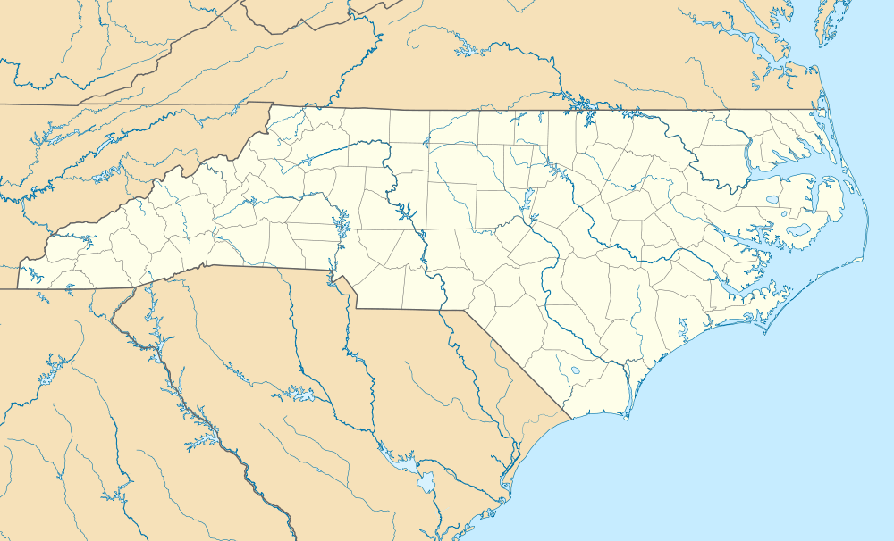
Chadbourn is located at 34°19′21″N 78°49′33″W (34.322374, -78.825823).[6]
According to the United States Census Bureau, the town has a total area of 2.6 square miles (6.7 km2), all of it land.
Demographics
| Historical population | |||
|---|---|---|---|
| Census | Pop. | %± | |
| 1890 | 156 | — | |
| 1900 | 243 | 55.8% | |
| 1910 | 1,242 | 411.1% | |
| 1920 | 1,121 | −9.7% | |
| 1930 | 1,311 | 16.9% | |
| 1940 | 1,576 | 20.2% | |
| 1950 | 2,103 | 33.4% | |
| 1960 | 2,323 | 10.5% | |
| 1970 | 2,213 | −4.7% | |
| 1980 | 1,975 | −10.8% | |
| 1990 | 2,005 | 1.5% | |
| 2000 | 2,129 | 6.2% | |
| 2010 | 1,856 | −12.8% | |
| Est. 2018 | 1,724 | [1] | −7.1% |
| U.S. Decennial Census[7] | |||
At the 2000 census there were 2,129 people, 877 households, and 548 families in the town. The population density was 805.3 people per square mile (311.4/km²). There were 983 housing units at an average density of 371.8 per square mile (143.8/km²). The racial makeup of the town was 53.55% African American, 41.94% White, 1.93% Native American, 0.38% Asian, 0.05% Pacific Islander, 1.41% from other races, and 0.75% from two or more races. Hispanic or Latino of any race were 1.97%.[2]
Of the 877 households 27.6% had children under the age of 18 living with them, 35.3% were married couples living together, 24.4% had a female householder with no husband present, and 37.5% were non-families. 33.6% of households were one person and 14.3% were one person aged 65 or older. The average household size was 2.42 and the average family size was 3.12.
The age distribution was 28.4% under the age of 18, 9.0% from 18 to 24, 24.7% from 25 to 44, 22.5% from 45 to 64, and 15.4% 65 or older. The median age was 36 years. For every 100 females, there were 84.5 males. For every 100 females age 18 and over, there were 72.5 males.
The median household income was $24,539 and the median family income was $30,574. Males had a median income of $23,804 versus $20,270 for females. The per capita income for the town was $12,290. About 24.3% of families and 31.4% of the population were below the poverty line, including 45.5% of those under age 18 and 25.6% of those age 65 or over.
References
- "Population and Housing Unit Estimates". Retrieved December 30, 2019.
- "U.S. Census website". United States Census Bureau. Retrieved 2008-01-31.
- "US Board on Geographic Names". United States Geological Survey. 2007-10-25. Retrieved 2008-01-31.
- "Columbus County". Jim Forte Postal History. Retrieved 1 November 2015.
- Proffitt, Martie (Apr 17, 1983). "Local history offers tasty tidbits". Star-News. pp. 1C. Retrieved 1 November 2015.
- "US Gazetteer files: 2010, 2000, and 1990". United States Census Bureau. 2011-02-12. Retrieved 2011-04-23.
- "Census of Population and Housing". Census.gov. Retrieved June 4, 2015.
External links
Municipalities and communities of Columbus County, North Carolina, United States | ||
|---|---|---|
| City | 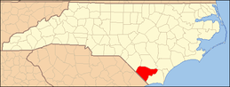 | |
| Towns | ||
| CDPs | ||
| Unincorporated communities | ||
| Authority control |
|
|---|