Caye Chapel Airport
Caye Chapel Airport (IATA: CYC, ICAO: MZCP) is an airport serving Caye Chapel, an island 20 kilometres (12 mi) off the coast of Belize. The runway is at the southern tip of the narrow cay.
Caye Chapel Airport | |||||||||||
|---|---|---|---|---|---|---|---|---|---|---|---|
| Summary | |||||||||||
| Airport type | Private | ||||||||||
| Serves | Caye Chapel | ||||||||||
| Elevation AMSL | 3 ft / 1 m | ||||||||||
| Coordinates | 17°41′00″N 88°02′40″W | ||||||||||
| Map | |||||||||||
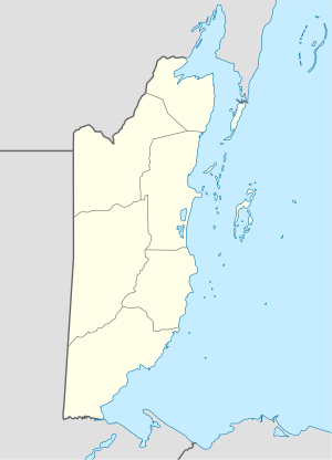 CYC Location in Belize | |||||||||||
| Runways | |||||||||||
| |||||||||||
Runway length does not include an additional 35 metres (115 ft) paved overrun on the south end. Portions of the runway have minimal separation from the sea on the west side. Airport approach and departure are over the water.
The Belize VOR-DME (Ident: BZE) is located 18.2 nautical miles (34 km) west-southwest of the airport.[3]
Scheduled Service
| Airlines | Destinations |
|---|---|
| Maya Island Air | Belize City–International, Caye Caulker |
See also


- Transport in Belize
- List of airports in Belize
References
- Airport information for Caye Chapel Airport at Great Circle Mapper.
- "Caye Chapel Airport". Google Maps. Google. Retrieved 22 January 2019.
- "Belize VOR". Our Airports. Retrieved 22 January 2019.
External links
- OpenStreetMap - Caye Chapel
- OurAirports - Caye Chapel Airport
- Accident history for CYC at Aviation Safety Network
- Aerodromes in Belize - pdf
This article is issued from Wikipedia. The text is licensed under Creative Commons - Attribution - Sharealike. Additional terms may apply for the media files.