Cataula, Georgia
Cataula /kʌtɔːlə/ is an unincorporated community in Harris County, Georgia, United States.[1]
Cataula, Georgia | |
|---|---|
Unincorporated community | |
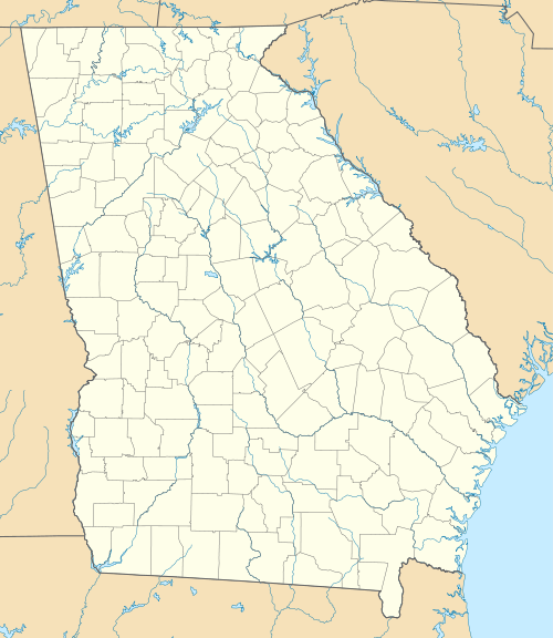 Cataula  Cataula | |
| Coordinates: 32°39′19″N 84°52′6″W | |
| Country | United States |
| State | Georgia |
| County | Harris |
| Elevation | 692 ft (211 m) |
| Time zone | UTC-5 (Eastern (EST)) |
| • Summer (DST) | UTC-4 (EDT) |
| ZIP code | 31804 |
| Area code(s) | 706 |
| GNIS feature ID | 331344 |
History
"Cataula" is the old Indian name for nearby Mulberry Creek.[2]
Geography
Cataula is located at 32°45'52.81" North, 84°54'4.68" West (32.640602, -84.9013). It is located along U.S. Route 27, which runs north to south through the city, leading southwest 16 miles (26 km) to Columbus and north 33 miles (53 km) to LaGrange. Georgia State Route 315 meets U.S. Route 27 in the city limits for a very short concurrency. Atlanta is 93 miles (150 km) by road to the northeast. Cataula sits at an elevation of 692 feet (211 m) above sea level in the Piedmont region of the state.
Education
The community is home to two of the seven schools in the county:
- Mulberry Creek Elementary School
- Creekside Intermediate School (grades 5-6)
References
- U.S. Geological Survey Geographic Names Information System: Cataula, Georgia
- Krakow, Kenneth K. (1975). Georgia Place-Names: Their History and Origins (PDF). Macon, GA: Winship Press. p. 36. ISBN 0-915430-00-2.
External links
- Kingsboro & Cataula historical marker
Municipalities and communities of Harris County, Georgia, United States | ||
|---|---|---|
| Cities | 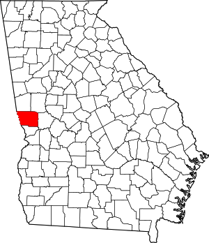 Map of Georgia highlighting Harris County | |
| Towns | ||
| Unincorporated communities | ||
| Ghost town | ||
| Footnotes | ‡ This symbol represents that the indicated city is part of two or more counties. | |
Greater Columbus, Georgia | ||
|---|---|---|
| Central cities/Largest cities | 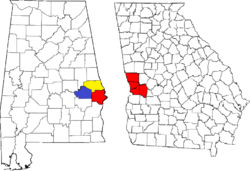 Location of the Columbus, Georgia-Auburn, Alabama CSA and its counties:
Columbus, Georgia Metropolitan Statistical Area
Auburn, Alabama Metropolitan Statistical Area
Tuskegee, Alabama Micropolitan Statistical Area (defunct) | |
| Cities in Georgia | ||
| Cities in Alabama | ||
| Counties in Georgia | ||
| Counties in Alabama | ||
This article is issued from Wikipedia. The text is licensed under Creative Commons - Attribution - Sharealike. Additional terms may apply for the media files.