Calder River (Tasmania)
The Calder River is a river in North West Tasmania, Australia, it extends approximately 15 kilometres (9.3 mi) from the Campbell Ranges near Henrietta before reaching its confluence with the Inglis River near Calder.[1] The river is transversed by the Murchison Highway in its upper reaches. Part of the course of the river is located adjacent to the 65.21-hectare (161.1-acre) Calder River Conservation Area.[2][3]
| Calder | |
|---|---|
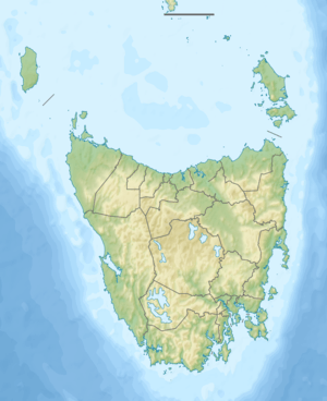 Location of the river mouth in Tasmania | |
| Etymology | James Erskine Calder |
| Location | |
| Country | Australia |
| State | Tasmania |
| Physical characteristics | |
| Source | Campbell Ranges |
| ⁃ location | near Henrietta |
| ⁃ coordinates | 41°10′21″S 145°41′28″E |
| ⁃ elevation | 340 m (1,120 ft) |
| Mouth | Inglis River |
⁃ location | near Calder |
⁃ coordinates | 41°4′8″S 145°36′39″E |
⁃ elevation | 71 m (233 ft) |
| Length | 15 km (9.3 mi) |
| [1] | |
The river and the adjacent town was named in honour of James Erskine Calder, the Surveyor General of Tasmania between 1859 and 1870.[4]
References
- "Map of Calder River, TAS". Bonzle Digital Atlas of Australia. Retrieved 13 March 2017.
- "CLAC reserves proclaimed within the Waratah-Wynyard municipality under the Nature Conservation Act 2002". Parks Tasmania. Government of Tasmania. 31 December 2011. Retrieved 18 March 2017.
- Calder River Conservation Area: Locality of Calder (Map). Government of Tasmania. 3 October 2011. Retrieved 18 March 2017.
- Thwaites, Jack (1966). "Calder, James Erskine (1808–1882)". Australian Dictionary of Biography. Melbourne University Press. ISSN 1833-7538. Retrieved 18 March 2017 – via National Centre of Biography, Australian National University.
Further reading
- Bobbi, Christopher; Andrews, David; Bantich, Mark (2003). State of rivers report for the Inglis-Flowderdale Catchment (PDF). Water Assessment and Planning Branch (Report). Hobart: Dept. of Primary Industries, Water and Environment, Government of Tasmania. ISSN 1449-5996.
River systems and rivers of Tasmania, Australia | |||||
|---|---|---|---|---|---|
| |||||
| |||||
| |||||
|
This article is issued from Wikipedia. The text is licensed under Creative Commons - Attribution - Sharealike. Additional terms may apply for the media files.