Berevce
Berevce (Serbian Cyrillic: Беревце, Albanian: Beroc) is a settlement in the Štrpce municipality in Kosovo. It is inhabited by ethnic Serbs,[2][3] according to the 1991 census, it had 792 inhabitants.
Beroc | |
|---|---|
Village | |
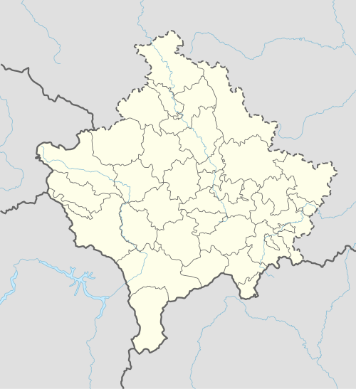 Beroc Location in Kosovo | |
| Coordinates: 42°14′44″N 21°01′28″E | |
| Location | |
| District | Ferizaj |
| Municipality | Shtërpcë |
| First mention | 13th century |
| Area | |
| • Total | 145.8 km2 (56.3 sq mi) |
| Elevation | 974 m (3,196 ft) |
| Population (2011)[1] | |
| • Total | 287 |
| Time zone | UTC+1 (CET) |
| • Summer (DST) | UTC+2 (CEST) |
| Area code(s) | +381 290 |
| Car plates | 05 |
Geography
It is situated in the northeastern part of the Šar Mountains, at the foot of a ridge of the Žar Mountain, on the left riverbank[3] of the Lepenac.[4] It is physiognomically like the southern part of Štrpce.[4]
History
Berevce is mentioned three times in the 13th century, then part of the Serbian Kingdom.[3]
In Medieval Serbia, the župa (province) of Sirinić (first mentioned in a charter of the 13th century, the second time in 1331, in a charter of Emperor Stephen Dušan) existed, covering the whole of modern Štrpce municipality, having two cities, Gradište (in Brezovica) and Zidinac (in Gotovuša), near Berevce. Several remains of Byzantine forts exist in the region.[5]
The village has two cathedrals of the 16th century: the Church of Parascheva, and the Church of St. Demetrius.[3] The Church of Parascheva is in good shape, it was renovated in 1960s when a new bell was built.[3] In the 13th century, the church was a notable literary center in which noted deacon Ravul wrote in; his manuscripts today exist in museums of Dublin.[3] The village is part of the ecclesiastical jurisdiction of the Serbian Orthodox Eparchy of Raška and Prizren.
In 1894, the village had 62 houses, all ethnic Serb.[6]
According to data from 1938, the village had the following kin families, with their number of houses, traditions (Krsna Slava, patron saint day), and history:[7][8]
- Đurinac (13 houses, Slava of St. Nicholas), indigenous.
- Mutavdžijin (1 house, St. Nicholas), indigenous.
- Šarkočević (13 houses, St. Nicholas).
- Kovačević (11 houses, Vavedenje), settled from the vicinity of Kaçanik.
- Popović (6 houses), Krpačević (4 houses) and Boško (5 houses), all with the Slava of St. Demetrius. They hail from Montenegro, from where they settled in Mušutište, in Metohija, then in Berevce at the end of the 18th century. They are kin to the Popović of Gornja Bitinja.
| Ethnic group | 1948 | 1953 | 1961 | 1971 | 1981[9] | 1991 |
|---|---|---|---|---|---|---|
| Serbs | 864 (98,63%) | |||||
| Others | 12 (1,37%) | |||||
| Total[10] | 682 | 706 | 751 | 846 | 876 | 792 |
Infrastructure
The rural settlement has a cadastre of 1458 hectares, with primarily livestock farming (ratarsko-stočarstvo) and Pomology.[4]
Notes
- Kosovo is the subject of a territorial dispute between the Republic of Kosovo and the Republic of Serbia. The Republic of Kosovo unilaterally declared independence on 17 February 2008, but Serbia continues to claim it as part of its own sovereign territory. The two governments began to normalise relations in 2013, as part of the 2013 Brussels Agreement. Kosovo is currently recognized as an independent state by 97 out of the 193 United Nations member states. In total, 112 UN member states recognized Kosovo at some point, of which 15 later withdrew their recognition.
References
- 2011 Kosovo Census results
- Republic of Serbia, Министарствo за Косово и Метохију, Општина Штрпце Archived 2010-03-07 at the Wayback Machine
- Dimitrije M. Kalezić, Enciklopedija pravoslavlja, Book 1, Savremena administracija, 2002, p. 166
- Srboljub Đ Stamenković, Географска енциклопедија населjа Србије: С-Ш, Volume 4, Географски факултет, 2002, p. 323
- Rastko
- Branislav Đ Nušić, S Kosova na sinje more: beleške s puta kroz Arbanase 1894. godine, Čigoja štampa, 2005, p. 18
- Podaci „Naselja“ (dr. A. Urošević: Šarplaninska Župa Sirinić)
- Annuaire, Volume 1, Univerzitet vo Skopje. Prirodno-matematički oddel, Oddel, Jan 1, 1948, p. 170
- 1981 Census, Kosovo
- Kosovo censuses 1948-1991