Baykurut
Baykurut Township (simplified Chinese: 巴音库鲁提乡; traditional Chinese: 巴州庫魯提鄉; pinyin: Bāyīnkùlǔtí Xiāng) is a township of Wuqia County in Xinjiang Uygur Autonomous Region, China. Located in the middle east of the county, the township covers an area of 1,317 square kilometers with a population of 2,554 (as of 2017). It has 2 administrative villages under its jurisdiction. Its seat is at Baykurut Village (巴音库鲁提村).[1]
Baykurut 巴音库鲁提乡 Bayinkuluti | |
|---|---|
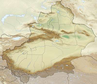
 Baykurut Location of the township | |
| Coordinates: 39.9452498225°N 75.5486637353°E | |
| Country | People's Republic of China |
| Autonomous region | Xinjiang |
| Prefecture | Kizilsu |
| County | Wuqia |
| Area | |
| • Total | 1,317 km2 (508 sq mi) |
| Population (2017) | |
| • Total | 2,554 |
| [1] | |
| Time zone | UTC+8 (China Standard Time) |
| Website | www |
Baykurut is located 65 kilometers away northeast of the county seat Wuqia Town and 23 kilometers south of Turugart Port (托帕口岸). It is adjacent to Terak Township in the east, Artux City and Wuqia Town in the south, Toyun Township in the north. It is bordered by the Kyrghyz Republic with a boundary line of 40 kilometers in the west.[2]
Name
Baykurut, the name of the Kyrgyz. In the early years, a man named Baykurut lived here, known for his wealth, and the place was named after that.
History
Baykurut was the 3rd township of the 4th district in Wuqia County in 1950 and part of Toyun Commune (托云公社) in 1958, Baykurut Commune was formed from Toyun in 1962, it was renamed Hongqi Commune (红旗公社) in 1968 and restored the original name in 1980, and organized as a township in 1984.[1]
Geography
The township has an area of 1,317 square kilometers with a population of 2,554 (as of 2017). The township's seat is at 2,310 meters above sea level. The highest altitude is 4,200 meters at Karadob (喀拉多别), the lowest altitude is 1,900 meters at Topa (托帕).
Settlements
The township has 2 administration villages[3] and 5 unincorporated villages under its jurisdiction.[1]
2 administration villages:
- Baykurut Village (巴音库鲁提村)
- Kizilagin Village (克孜勒阿根村)
References
- 乌恰县行政区划和居民地名称. xjwqx.gov.cn. 2018-06-04. Retrieved 2019-10-21.
- 巴音库鲁提乡. xjwqx.gov.cn. 2018-05-29. Retrieved 2019-10-21.
- 2018年乌恰县巴音库鲁提乡行政区划代码. National Bureau of Statistics of China. 2018-10-31. Retrieved 2019-10-21.