Balladonia Land District
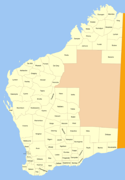
Balladonia Land District is a land district (cadastral division) of Western Australia mostly within the Eucla Land Division. It spans roughly 31°50'S - 32°40'S in latitude and 123°10'E - 124°00'E in longitude.
| Balladonia Western Australia | |||||||||||||||
|---|---|---|---|---|---|---|---|---|---|---|---|---|---|---|---|
 | |||||||||||||||
Location and features
The district is located on the Nullarbor Plain and contains the town of Balladonia. The Eyre Highway runs through the district.[1]
History
The district was approved on 3 September 1897 by the Commissioner of Crown Lands.[2] As it was approved prior to the Land Act 1898, its boundaries were never gazetted.
References
- "Index Map of Western Australia", Department of Lands and Surveys, 1949.
- Mapping — General — Declaration of Land Districts (7835/97), p.5.
This article is issued from Wikipedia. The text is licensed under Creative Commons - Attribution - Sharealike. Additional terms may apply for the media files.