BR-116
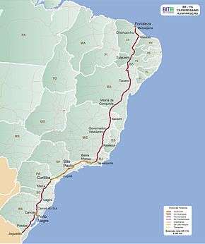
BR-116 is a federal route of highways of Brazil.[2] One of the most important highways in Brazil and the second longest, its 4,490 kilometres (2,790 mi) connect Fortaleza, Ceará, one of the largest Northeast Brazil metropolises, to the southern city of Jaguarão, Rio Grande do Sul, in the border with Uruguay. It is also the longest highway in the country to be completely paved.
| |
|---|---|
 | |
| Route information | |
| Length | 2,789.90 mi[1] (4,489.91 km) |
| Existed | 1951 (Rio-São Paulo) 1948 (Rio-Fortaleza) 1967-1977 (divided highways of Rodovia Presidente Dutra and Rodovia Régis Bittencourt)–present |
| Major junctions | |
| North end | Fortaleza, Ceará |
| |
| South end | Jaguarão, Rio Grande do Sul |
| Highway system | |
| Highways in Brazil | |

Route description
BR-116 runs in a north-south direction, close to, but not on Brazil's coastline. It is the longest highway in the country and, by connecting major urban centers including Fortaleza, São Paulo, Rio de Janeiro, Curitiba and Porto Alegre, arguably the most important and busiest Brazilian highway. Numerous stretches of BR-116 highway have other official names.
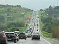
The highway is especially busy along the Curitiba—São Paulo—Rio de Janeiro section. The Curitiba–São Paulo section–officially known as the Régis Bittencourt Highway (Rodovia Régis Bittencourt)–is nicknamed the "Highway of Death" ("Rodovia da Morte") due to its many weather-related accidents. The São Paulo—Rio de Janeiro section is officially named President Dutra Highway (Rodovia Presidente Dutra) and is the busiest section of BR-116, running into or close to 15 cities with over 200,000 inhabitants.
Major cities directly served by BR-116 highway are: Fortaleza, Salgueiro, Feira de Santana, Vitória da Conquista, Teófilo Otoni, Governador Valadares, Rio de Janeiro, Volta Redonda, São José dos Campos, São Paulo, Curitiba, Lages, Caxias do Sul, Canoas, Porto Alegre, Pelotas.
Privatizations
On March 1, 1996, the stretch of highway between the cities of São Paulo and Rio de Janeiro, known as the Rodovia Presidente Dutra, was granted to private companies, with the CCR Nova Dutra company being the current administrator. On the same day, a 144 kilometer section between the cities of Duque de Caxias and Sapucaia was granted to a company named CRT.
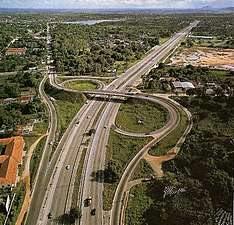
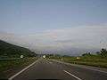
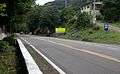
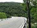
Gallery

.jpg)
.jpg)
See also
References
- "BR-116 length between major junctions". Ministério dos Transportes do Brasil. Archived from the original on June 6, 2013. Retrieved August 14, 2014.
- "BR-116". Ministry of Transport. Archived from the original on 26 April 2011. Retrieved 7 June 2011.
| Rodovias radiais | |
|---|---|
| Rodovias longitudinais | |
| Rodovias transversais |
|
| Rodovias diagonais | |
| Rodovias de ligação |
|