Anding District, Tainan
Anding District (Chinese: 安定區; pinyin: Āndìng Qū; Wade–Giles: An1-ting4 Ch'ü1; Pe̍h-ōe-jī: An-tēng khu) is a rural district of about 30,577 residents in Tainan, Taiwan.
Anding 安定區 | |
|---|---|
| Anding District | |
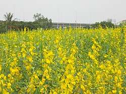 Sesame fields in Anding | |
 | |
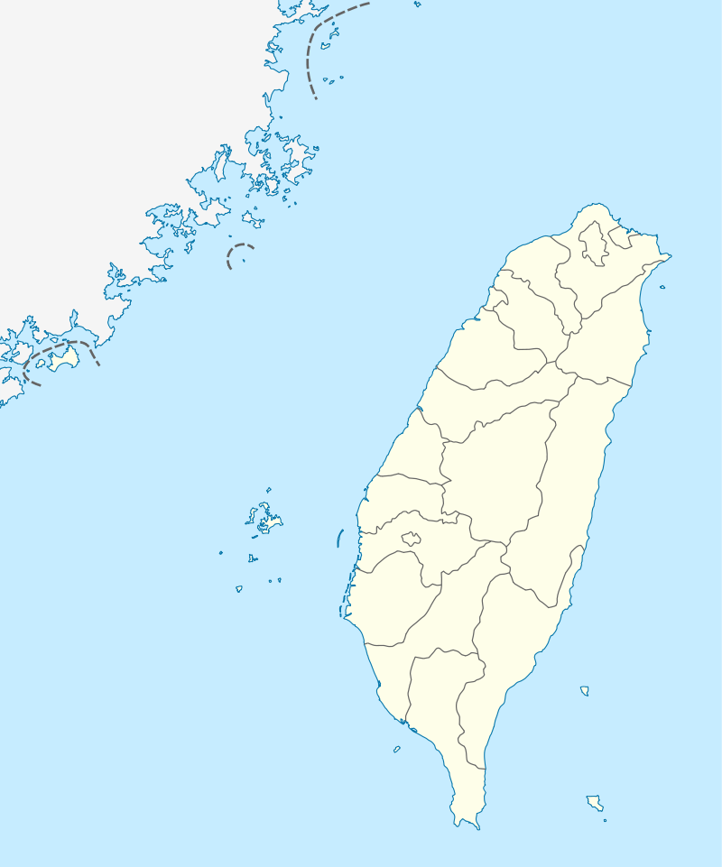 Anding Location in Taiwan | |
| Coordinates: 23°5′57.53″N 120°13′37.79″E | |
| Country | |
| Special municipality | Tainan |
| Population (November 2017) | |
| • Total | 30,577 |
| Time zone | +8 |

History
During the Dutch colonial era the area was known as Bakloan[1] or Baccloan,[2] with a rarer spelling of Baccaluang. The village was one of four main aboriginal villages near the Dutch base of Tayouan, with around 1,500 inhabitants.[3] It was located about 12 kilometres (7.5 mi) northeast of the Dutch base at Fort Zeelandia.
Republic of China
After the handover of Taiwan from Japan to the Republic of China in 1945, Anding was organized as a rural township of Tainan County. On 25 December 2010, Tainan County was merged with Tainan City and Anding was upgraded to a district of the city.
Administrative divisions
Anding district consists of Sulin, Sucuo, Anding, Baoxi, Anjia, Gangwei, Nanan, Guanliao, Zhongrong, Gangkou, Hailiao, Datong, Liujia, Gangnan, Zhongsa and Xinji Borough.[4]
Tourist attractions
- Changsing Temple
- Little Confucius Temple[5]
References
- Campbell (1903), p. 538.
- "臺南市政府區公所-安定區". Tainan.gov.tw. Archived from the original on 2012-09-04. Retrieved 2014-05-25.
- Andrade, Tonio (2005). "Chapter 3: Pax Hollandica". How Taiwan Became Chinese: Dutch, Spanish, and Han Colonization in the Seventeenth Century. Columbia University Press. § 3.CS1 maint: ref=harv (link)
- "臺南市政府". www.tainan.gov.tw. Retrieved 23 April 2018.
- "Anding Township". Web1.tainan.gov.tw. 2009-10-26. Archived from the original on 2014-02-21. Retrieved 2014-05-25.
External links
| Wikimedia Commons has media related to Anding District, Tainan. |
- Anding District
- Campbell, William (1903). "Explanatory Notes". Formosa under the Dutch: described from contemporary records, with explanatory notes and a bibliography of the island. London: Kegan Paul. LCCN 04007338.CS1 maint: ref=harv (link)