Amatenango de la Frontera
Amatenango de la Frontera is a town and one of the 122 municipalities of Chiapas, in southern Mexico. It covers an area of 171.4 km² and is a part of Mexico's border with Guatemala.
Amatenango de la Frontera | |
|---|---|
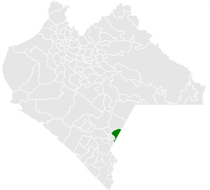 Municipality of Amatenango de la Frontera in Chiapas | |
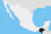
Amatenango de la Frontera Location in Mexico | |
| Coordinates: 15°26′N 92°7′W | |
| Country | |
| State | Chiapas |
| Settled | mid-17th century |
| Area | |
| • Total | 171.4 km2 (66.2 sq mi) |
| Population (2010) | |
| • Total | 29,547 |
As of 2010, the municipality had a total population of 29,547,[1] up from 26,094 as of 2005.[2]
The municipality had 123 localities, the largest of which (with 2010 populations in parentheses) were: El Pacayal (3,045), classified as urban, and Potrerillo (2,062), Nuevo Amatenango (1,594), Guadalupe Victoria (1,541), and Nueva Morelia (1,032), classified as rural.[1]
References
- "Amatenango de la Frontera". Catálogo de Localidades. Secretaría de Desarrollo Social (SEDESOL). Retrieved 23 April 2014.
- "Amatenango de la Frontera". Enciclopedia de los Municipios de México. INAFED. Archived from the original on 2011-06-17. Retrieved July 25, 2008.
This article is issued from Wikipedia. The text is licensed under Creative Commons - Attribution - Sharealike. Additional terms may apply for the media files.