Adswood
Adswood is a suburb of Stockport, Greater Manchester, England.[1][2] The name is said to be derived from "Adders wood"; in the reign of King Charles, the area was royal hunting grounds with a large population of snakes. Adswood has its own coat of arms, a snake wrapped around a tree.
| Adswood | |
|---|---|
 St Ambrose's Roman Catholic Church | |
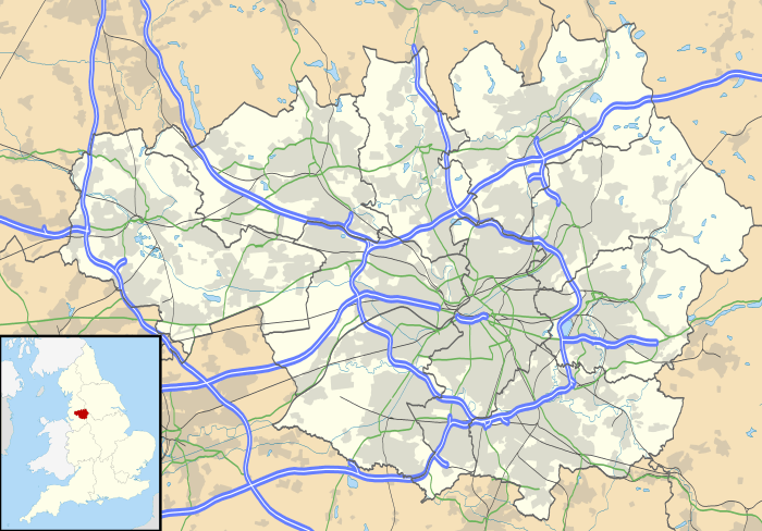 Adswood Location within Greater Manchester | |
| OS grid reference | SJ883882 |
| Metropolitan borough | |
| Metropolitan county | |
| Region | |
| Country | England |
| Sovereign state | United Kingdom |
| Post town | STOCKPORT |
| Postcode district | SK3 |
| Dialling code | 0161 |
| Police | Greater Manchester |
| Fire | Greater Manchester |
| Ambulance | North West |
| UK Parliament | |
Council housing in Adswood began in the 1920s with the building of Culver Road at the back of the estate towards neighbouring Cale Green. The rest of the housing was built in the 1930s and 1940s. In 2016 building started again in the north east corner.
References
- Ordnance Survey: Landranger map sheet 109 Manchester (Bolton & Warrington) (Map). Ordnance Survey. 2014. ISBN 9780319231555.
- "Ordnance Survey: 1:50,000 Scale Gazetteer" (csv (download)). www.ordnancesurvey.co.uk. Ordnance Survey. 1 January 2016. Retrieved 30 January 2016.
This article is issued from Wikipedia. The text is licensed under Creative Commons - Attribution - Sharealike. Additional terms may apply for the media files.