Romiley
Romiley is an area of the Metropolitan Borough of Stockport in Greater Manchester, England. Historically part of Cheshire, it borders Marple, Bredbury and Woodley. In Roman times there is thought to have been a settlement along Sandy Lane. At the 2011 census, the Romiley ward, which includes Compstall, Bredbury Green and a large part of Bredbury, had a population of 14,139.[1]
| Romiley | |
|---|---|
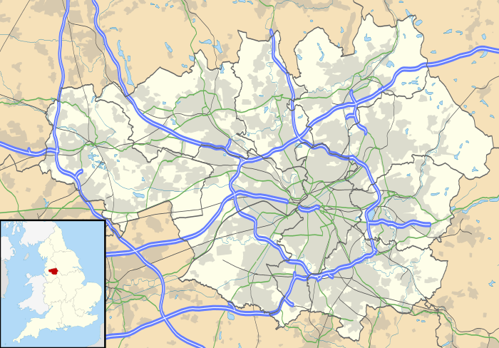
 Stockport Road in Romiley | |
 Romiley Location within Greater Manchester | |
| OS grid reference | SJ945905 |
| Metropolitan borough | |
| Metropolitan county | |
| Region | |
| Country | England |
| Sovereign state | United Kingdom |
| Post town | STOCKPORT |
| Postcode district | SK6 |
| Dialling code | 0161 |
| Police | Greater Manchester |
| Fire | Greater Manchester |
| Ambulance | North West |
| UK Parliament | |
History
.jpg)

For centuries, it was an agricultural area until the late Victorian era, when it became a residential area with a small district centre.
There are four primary schools: Romiley Primary School, Bredbury Green Primary School, St Christopher's Catholic Primary School and Greave Primary School (which is on the border with Woodley). Secondary education is provided by Werneth School and Harrytown Catholic High School.
Romiley also has its own theatre, the Forum Theatre. This is a building owned by Stockport Council but, since 2003, has been managed by NK Theatre Arts, a registered charity which provides all-inclusive performing arts workshops for children, young people and adults. The theatre is also used by many other local community groups in Stockport.[2]
Geography
Romiley's surroundings are semi-rural, although it is a suburb, with fields to the north. Compstall, between Romiley and Marple, is home to the Etherow Country Park which is the largest country park in Stockport.
Transport
It is served by Romiley railway station on the Hope Valley Line from Sheffield to Manchester Piccadilly. Services run westbound to Manchester Piccadilly, either via Bredbury or Woodley; eastbound trains travel either to Rose Hill Marple or to Marple and beyond to New Mills Central and Sheffield.
Romiley is served by several bus services. The most regular services run on a Stockport circular route to Bredbury and Portwood (383 anticlockwise) and to Marple and Offerton (384 clockwise). There is also a two-hourly 382 service, which runs from Stockport to/from Woodley, via Romiley.
Conservation areas
Romiley contains four conservation areas, a designation made by the local council to protect locations which have special architectural or historical character. It helps reduce traffic, preserve wildlife and important landscapes, and restricts making changes which affect the look of the area such as changing front doors, roofing, facades or windows. They are:
- Barlow Fold (1997, reviewed in 2006) is around 0.5 miles (0.80 km) to the north east of Romiley town centre and 4 miles (6.4 km) north east of Stockport. The conservation area covers 0.39 hectares and contains 12 households.
- Chadkirk (2006) is a quiet rural retreat lying approximately 0.5 miles (0.80 km) south of the centre of Romiley. It comprises farmlands, a 17th-century farmhouse, outbuildings and Victorian walled garden, and a 16th-century chapel, forming an oasis of peace and tranquility, surrounded on three sides by ancient woodlands and the River Goyt which flows alongside.
- Church Lane (1996, extended in 2006). Church Lane Conservation Area is essentially a late 19th-century railway suburb, overlaying the lanes and fields of a former agricultural area. It developed as a railway suburb, following the opening of Romiley railway station in 1862. However, it has the form and character of a village or earlier community as the area is focused around the landmark church of St Chad (1864–66).
- Greave Fold (1996, reviewed 2006) is 0.5 miles (0.80 km) north of Romiley town centre and approximately 4 miles (6.4 km) north east of Stockport. The conservation area covers 2.31 hectares and contains 48 households.
A further conservation area adjoins Romiley at Hatherlow in Bredbury.
 Hyde Bank Farm
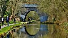
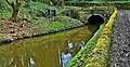 Peak Forest Canal
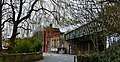 Romiley Station
 High Meadows