Yuba Pass, California
| Yuba Pass | |
|---|---|
| Former settlement | |
 Yuba Pass Location in California  Yuba Pass Yuba Pass (the US) | |
| Coordinates: 39°19′23″N 120°36′01″W / 39.32306°N 120.60028°WCoordinates: 39°19′23″N 120°36′01″W / 39.32306°N 120.60028°W | |
| Country |
|
| State |
|
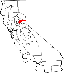
| County | Nevada County |
| Elevation[1] | 5,636 ft (1,718 m) |
| Population (2016) | |
| • Total | 0 |
Yuba Pass is a former settlement in Nevada County, California.[1] Yuba Pass was located on the former Southern Pacific Railroad (now part of the Union Pacific Railroad), 1 mile (1.6 km) east-northeast of Yuba Gap.[2] It lay at an elevation of 5636 feet (1718 m).[1]
This Yuba Pass should not be confused with the completely unrelated mountain pass of the same name on California State Route 49 in Sierra County.
Today, the town of Yuba Pass has nearly disappeared, save an aggregate warehouse and PG&E maintenance shack.[3]
References
This article is issued from
Wikipedia.
The text is licensed under Creative Commons - Attribution - Sharealike.
Additional terms may apply for the media files.