Woringen
| Woringen | ||
|---|---|---|
_01.JPG) Lutheran church of Our Lady | ||
| ||
 Woringen Location of Woringen within Unterallgäu district 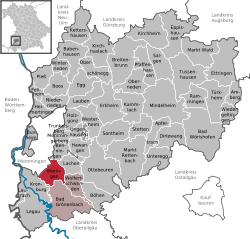 | ||
| Coordinates: 47°55′N 10°12′E / 47.917°N 10.200°ECoordinates: 47°55′N 10°12′E / 47.917°N 10.200°E | ||
| Country | Germany | |
| State | Bavaria | |
| Admin. region | Schwaben | |
| District | Unterallgäu | |
| Municipal assoc. | Bad Grönenbach | |
| Government | ||
| • Mayor | Volker Müller | |
| Area | ||
| • Total | 17.54 km2 (6.77 sq mi) | |
| Elevation | 632 m (2,073 ft) | |
| Population (2017-12-31)[1] | ||
| • Total | 2,057 | |
| • Density | 120/km2 (300/sq mi) | |
| Time zone | CET/CEST (UTC+1/+2) | |
| Postal codes | 87789 | |
| Dialling codes | 08331 | |
| Vehicle registration | MN | |
| Website | www.woringen.de | |

Woringen is a municipality in the district of Unterallgäu in Bavaria, Germany.
References
- ↑ "Fortschreibung des Bevölkerungsstandes". Bayerisches Landesamt für Statistik und Datenverarbeitung (in German). September 2018.
This article is issued from
Wikipedia.
The text is licensed under Creative Commons - Attribution - Sharealike.
Additional terms may apply for the media files.