Woolley, West Yorkshire
| Woolley | |
|---|---|
 High Street | |
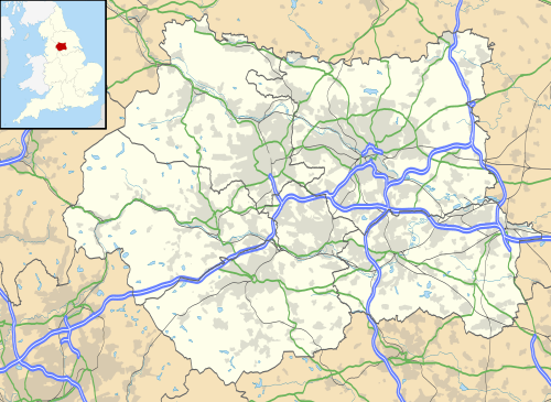 Woolley Woolley shown within West Yorkshire | |
| Population | 1,339 (2011) |
| OS grid reference | SE321131 |
| • London | 155 mi (249 km) SSE |
| Metropolitan borough | |
| Metropolitan county | |
| Region | |
| Country | England |
| Sovereign state | United Kingdom |
| Post town | WAKEFIELD |
| Postcode district | WF4 |
| Dialling code | 01226 |
| Police | West Yorkshire |
| Fire | West Yorkshire |
| Ambulance | Yorkshire |
| EU Parliament | Yorkshire and the Humber |
| UK Parliament | |
Woolley is a village and civil parish in the City of Wakefield in West Yorkshire, England. It had a population of 575 in 2001,[1] which increased to 1,339 at the 2011 Census.[2]It is situated 6 miles (9.7 km) north of Barnsley, and 7 miles (11 km) south of Wakefield.
Geography
No major roads pass through the village. The A61 runs about 1 mile (1.6 km) east of it, the M1 motorway about 2 miles (3.2 km) west.
West of the village is the escarpment known as Woolley Edge, which has given its name to the nearby Wolley Edge service station on the M1 motorway.
History
Historically Woolley, mentioned as Weludai in the Domesday Book, was part of the Staincross Wapentake in the West Riding of Yorkshire.[3] In the late 19th century it was part of the Roystone parish. By 1881 it had become a civil parish in its own right, which covered an area of about 2,600 acres (1,052 ha).[4] Until 1974 it formed part of the rural district of Wakefield.
See also
References
- ↑ Office for National Statistics : Census 2001 : Parish Headcounts : Wakefield Retrieved 12 September 2009
- ↑ "Civil Parish population 2011". Neighbourhood Statistics. Office for National Statistics. Retrieved 3 March 2011.
- ↑ Woolley in the Domesday Book. Retrieved 24 October 2017.
- ↑ "Woolley West Riding". A Vision of Britain through Time. Retrieved 24 October 2017.
External links
