Wisbech St Mary
| Wisbech St Mary | |
|---|---|
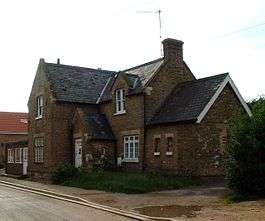 Station House, Wisbech St Mary | |
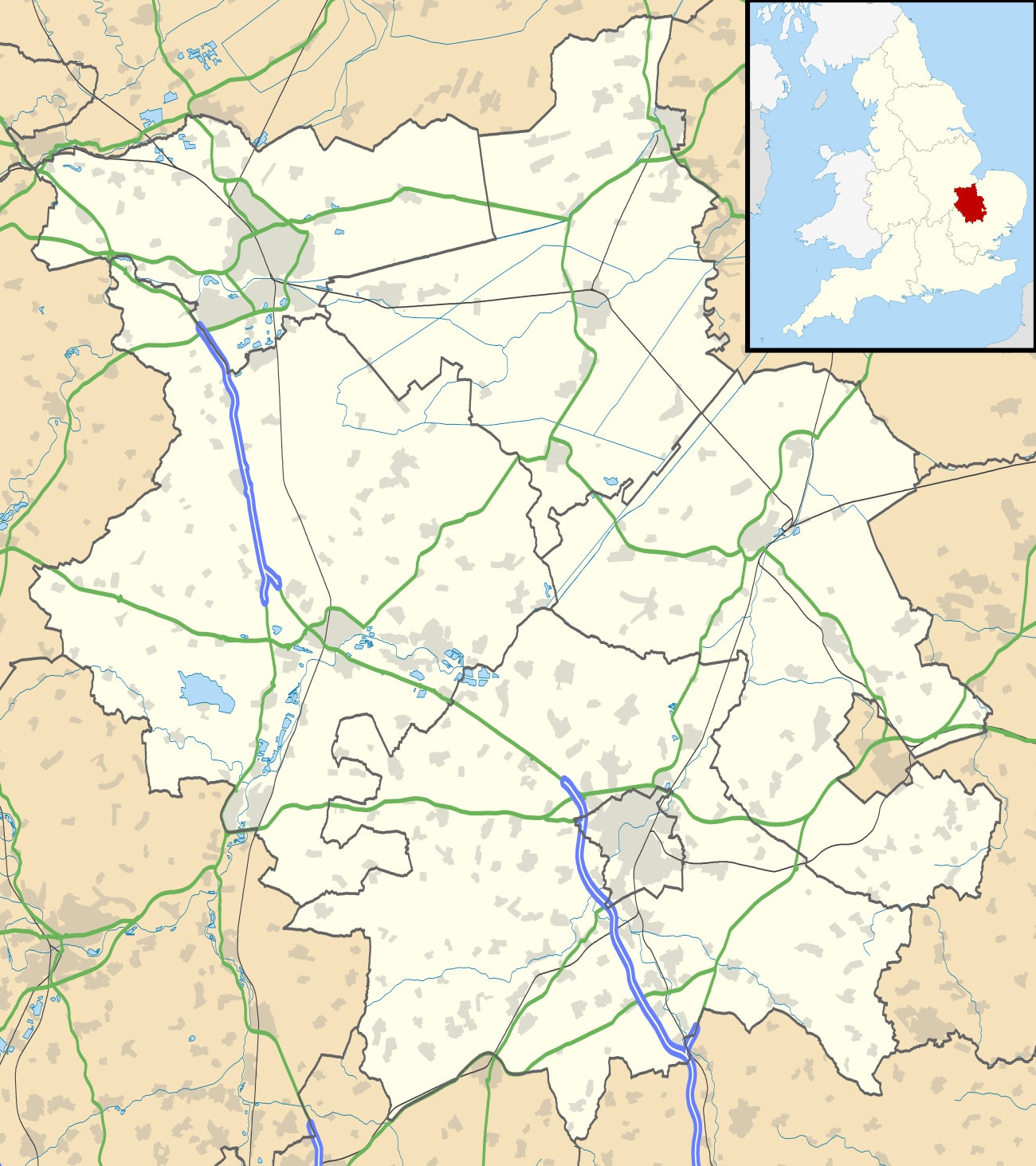 Wisbech St Mary Wisbech St Mary shown within Cambridgeshire | |
| Population | 3,556 (2011) |
| OS grid reference | TF421060 |
| Shire county | |
| Region | |
| Country | England |
| Sovereign state | United Kingdom |
| Post town | Wisbech |
| Postcode district | PE13 |
| EU Parliament | East of England |
Wisbech St Mary is a small village, 2 miles (3 km) west of the town of Wisbech in Cambridgeshire, England. and lies between two roads, the B1169 and the A47. The population (including Guyhirn and Thorney Toll) of the civil parish at the 2011 Census was 3,556.[1]
History
Wisbech St.Mary was the least nucleated of all the Isle parishes. Other villages include Murrow, Guyhirn and Thorney Toll. The Peterborough-Sutton bridge branch of the former M. & G.N joint railway, opened in 1866, has stations in the parish at Murrow(East) & Wisbech St.Mary. The March-Spalding line opened in 1867 had stations at Murrow(West’s) and Guyhirn. The Pepys family farmed a manor in the parish. It was leased to Samuel Pepys in 1639 for 21 years.[2]
The village has a church, a primary school and some public houses.
The village is built on an old watercourse, a roddon; such sand and silt beds are firmer and rise higher than the surrounding shrinking peat fens.[3]
References
- notes
- ↑ "Civil Parish population 2011". Neighbourhood Statistics. Office for National Statistics. Retrieved 18 July 2016.
- ↑ ed RB Pugh (1953). A History of Cambridge and the Isle of Ely. Oxford University Press.
- ↑ Hall 1996, p. 171.
- bibliography
- Hall, David (1996). The Fenland Project. Cambridgeshire Archaeological Committee in conjunction with the Fenland Project Committee and the Scole Archaeological Committee.
Further reading
Pugh R.B. (1953). The Victoria History of the county of Cambridge and the Isle of Ely. Vol IV. OXford University Press.
External links
![]()