Winesburg, Holmes County, Ohio
| Winesburg, Ohio | |
|---|---|
| Census-designated place | |
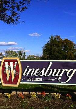 Welcome sign | |
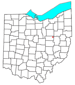 Location of Winesburg in Ohio | |
| Coordinates: 40°36′58″N 81°41′43″W / 40.61611°N 81.69528°WCoordinates: 40°36′58″N 81°41′43″W / 40.61611°N 81.69528°W | |
| Country | United States |
| State | Ohio |
| County | Holmes |
| Township | Paint |
| Area | |
| • Total | 0.63 sq mi (1.63 km2) |
| • Land | 0.63 sq mi (1.62 km2) |
| • Water | 0.004 sq mi (0.01 km2) |
| Elevation[1] | 1,312 ft (400 m) |
| Population (2010)[2] | |
| • Total | 352 |
| • Density | 561/sq mi (216.7/km2) |
| Time zone | UTC-5 (Eastern (EST)) |
| • Summer (DST) | UTC-4 (EDT) |
| ZIP code | 44690 |
| Area code(s) | 330 |
| FIPS code | 39-86072[2] |
| GNIS feature ID | 1061795[1] |
Winesburg is an unincorporated community and census-designated place (CDP) in southwestern Paint Township, Holmes County, Ohio, in the United States.[1] The population was 352 at the 2010 census.[2] The community sits on the crest of a hill in the Amish country of Ohio, with a quaint downtown containing antique shops. It lies along U.S. Route 62.
It is not the setting of the novel Winesburg, Ohio by Sherwood Anderson, a collection of inter-related fictional short stories about citizens of a small town set in the early 20th century. (Clyde, Ohio, is the town that Sherwood Anderson grew up in, and is the basis for Anderson's collection of stories.)
History
The community was founded in 1829 and originally named Weinsberg, after Weinsberg in Germany.[3] The spelling was changed to "Winesburg" by postal authorities in 1833 when a post office was opened there.[4]
Geography
According to the U.S. Census Bureau, the Winesburg CDP has a total area of 0.63 square miles (1.63 km2), of which 1.6 acres (6,533 m2), or 0.40%, are water. Winesburg sits on a ridge, with the north side draining toward the Middle Fork of Sugar Creek and the south side draining to Indian Trail Creek, a tributary of the South Fork of Sugar Creek. Via Sugar Creek, Winesburg is part of the Tuscarawas River watershed draining to the Ohio River.
U.S. Route 62, which runs through Winesburg as Main Street, leads northeast 24 miles (39 km) to downtown Canton and southwest 13 miles (21 km) to Millersburg, the Holmes county seat.
References
- 1 2 3 U.S. Geological Survey Geographic Names Information System: Winesburg, Ohio
- 1 2 3 "Geographic Identifiers: 2010 Census Summary File 1 (G001): Winesburg CDP, Ohio". American Factfinder. U.S. Census Bureau. Retrieved January 9, 2018.
- ↑ Overman, William Daniel (1958). Ohio Town Names. Akron, OH: Atlantic Press. p. 145.
- ↑ "Post offices". Jim Forte Postal History. Retrieved 21 June 2016.
Municipalities and communities of Holmes County, Ohio, United States | ||
|---|---|---|
| Villages | 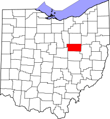 | |
| Townships | ||
| CDPs | ||
| Unincorporated communities | ||
| Footnotes | ‡This populated place also has portions in an adjacent county or counties | |