Wilkinson Peaks
| Wilkinson Peaks | |
|---|---|
|
Langnabbane | |
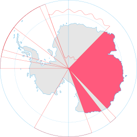 Map of Antarctica indicating Australian claim
| |
| Geography | |
| Continent | Antarctica |
| State/Province | Enderby Land, East Antarctica |
| Parent range | Napier Mountains |
The Wilkinson Peaks, also known as Langnabbane, is a group of peaks in the Napier Mountains standing 8 kilometres (5.0 mi) southeast of Mount Griffiths[1] and 8 kilometres (5.0 mi) northeast of Mount Elkins in Enderby Land.
Discovery and naming
The Wilkinson Peaks were mapped by Norwegian cartographers from aerial photos taken by the Lars Christensen Expedition of 1936–37 and were called Langnabbane (the long peaks). They were visited in 1961 by an ANARE (Australian National Antarctic Research Expeditions) sledge party and renamed by the Antarctic Names Committee of Australia (ANCA) for B.G. Wilkinson, the assistant diesel mechanic at Mawson Station in 1961.[1]
References
- 1 2 "Wilkinson Peaks". Geographic Names Information System. United States Geological Survey. Retrieved 2011-11-30.
External links
![]()
| General |
| .svg.png) |
|---|---|---|
| Geographic regions | ||
| Waterways | ||
| Famous explorers | ||