Westbrook, Cheshire
| Westbrook | |
|---|---|
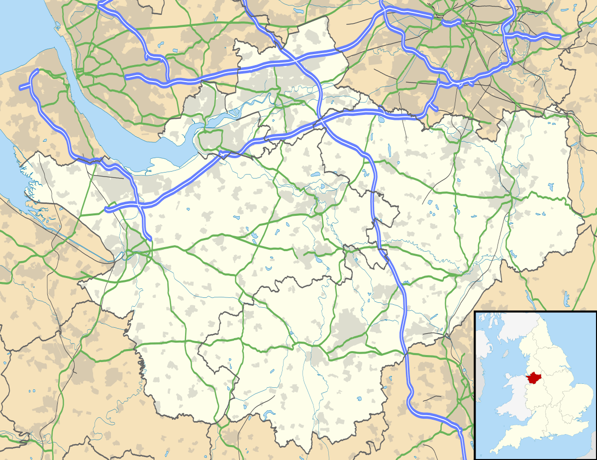 Westbrook Westbrook shown within Cheshire | |
| Population | 11,265 (2015) |
| OS grid reference | SJ581901 |
| Civil parish | |
| Unitary authority | |
| Ceremonial county | |
| Region | |
| Country | England |
| Sovereign state | United Kingdom |
| Post town | Warrington |
| Postcode district | WA5 |
| Dialling code | 01925 |
| Police | Cheshire |
| Fire | Cheshire |
| Ambulance | North West |
| EU Parliament | North West England |
| UK Parliament | |
Westbrook is a ward and suburb in north west Warrington, Cheshire, England. It forms part of the civil parish of Burtonwood, to part of which it gives its name. The main part of Westbrook was built in the early 1980s. There are new estates being developed, the newest (Chapelford) was started in 2001.
Facilities
The original estate (area around Westbrook Crescent and Cromwell Avenue) has an out of town shopping area. The shopping centre is known as the "Westbrook Centre", and has a large Asda supermarket as well as many smaller specialist stores. Westbrook also has Warrington's only cinema adjacent to the shopping centre.
There are two primary schools in Westbrook, St Phillips C of E Primary School and Old Hall Primary School, the nearest high schools are St. Gregory's Catholic High School and Great Sankey High School.
There are various pubs in the district. There are also playing fields and parkland. Sankey Valley Park is also a short distance away.
Travel
The centre of Westbrook is served by many buses. On average the journey to Warrington takes 14 to 22 minutes depending on route. The buses serving Westbrook are the 17 and 18 direct to Warrington town centre (18E in evening), and the 13, 29A, 29C via Chapelford.[1]
Demographics
Note: Statistics expressed as percentages may not add up to 100%
Politics
It is in the Westbrook ward of Warrington borough. There are two councillors, one representing the Labour Party and one the Liberal Democrats.
Census data
Data is based on that of Westbrook Ward.[2]
Population
- Total Population: 6,450 residents
- Male:Female ratio: 49.7%:50.3%
- Average age of population: 34.7 years
Ethnicity breakdown
- 95.3% White
- 0.6% Mixed
- 0.1% Black
- 2.6% Asian
- 1.4% Other
Housing and social situation
Housing situation
- Households: 2,294
- 92.4% are owner occupied
- 3.9% are socially rented (i.e. Council Accommodation)
- 3.7% are privately rented
- 0.3% are rent free
- Average House Price: £111,855
Social situation
- Population Density: 14.8 residents per hectare
- 72.1% of residents say this ward is a "Wealthy" area (based on ACORN index)
- Based on the Index of Multiple Deprivation, this is ranked as a "very above average" (in terms of economics) in Warrington, with an index of around 90.0%.
- 3.9% of residents are on some form of benefits.
- 2.5% of households are classed as overcrowded.
Employment and education
Employment
- 63.6% are employed.
- 1.7% are unemployed.
- 3.5% are full-time students (therefore classed as active).
- 21.2% are classed as "economically inactive".
Education
- 16.7% have no qualifications whatsoever.
- 52.7% have only level 1 or 2 qualifications.
- 25.1% have level 3 or higher (i.e. non-compulsory qualifications).
See also
References
- ↑ "Network Warrington service 13, 29A, 29C". Retrieved on 6 November 2015.
- ↑ http://www.warrington.gov.uk/download/downloads/id/7300/2014_westbrook_ward_profile
Cheshire Portal | |
| Unitary authorities | |
| Major settlements | |
| Rivers | |
| Topics | |