Washington State Route 115
| ||||
|---|---|---|---|---|
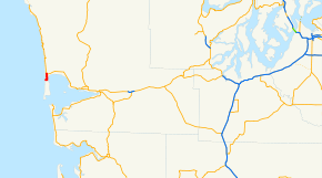 SR 115 is highlighted in red. | ||||
| Route information | ||||
| Auxiliary route of US 101 | ||||
| Defined by RCW 47.17.217 | ||||
| Maintained by WSDOT | ||||
| Length | 2.28 mi[1] (3.67 km) | |||
| Existed | 1973[2]–present | |||
| Major junctions | ||||
| South end | Point Brown Avenue in Ocean Shores | |||
| North end |
| |||
| Location | ||||
| Counties | Grays Harbor | |||
| Highway system | ||||
| ||||

State Route 115 (SR 115) is a 2.28-mile-long (3.67 km) state highway in the U.S. state of Washington serving the city of Ocean Shores in Grays Harbor County. The highway begins at Point Brown Avenue in Ocean Shores and travels east across the peninsula before turning north and ending at SR 109 south of Ocean City at Oyehut-Hogan's Corner. SR 115 was established in 1973 to serve Ocean Shores and follows a road built in the 1950s.
Route description
SR 115 begins as Damon Road at an intersection with Point Brown Avenue north of Ocean Shores in Grays Harbor County, located on the shores of the Pacific Ocean.[3] The highway travels east and passes North Beach High School before turning north, following the North Bay of Grays Harbor towards Ocean City State Park.[4][5][6] SR 115 continues north into woodlands, passing several unnamed lakes, to Oyehut-Hogan's Corner,[7] where the highway ends at an intersection with SR 109 west of Hogan's Corner Airport.[8][9]
Every year, the Washington State Department of Transportation (WSDOT) conducts a series of surveys on its highways in the state to measure traffic volume. This is expressed in terms of annual average daily traffic (AADT), which is a measure of traffic volume for any average day of the year. In 2011, WSDOT calculated that between 6,600 and 7,100 vehicles per day used the highway.[10]
History
SR 115 was established in 1973 on a highway that was built and paved in the 1950s to connect Ocean Shores to Secondary State Highway 9C (SSH 9C), later SR 109.[2][11][12] No major revisions to the route of the highway have occurred since 1973.[13]
Major intersections
The entire highway is in Grays Harbor County.
| Location | mi[1] | km | Destinations | Notes | |
|---|---|---|---|---|---|
| Ocean Shores | 0.00– 0.01 | 0.00– 0.016 | Point Brown Avenue | Southern terminus, continues as Damon Road | |
| Oyehut-Hogan's Corner | 2.28 | 3.67 | Northern terminus | ||
| 1.000 mi = 1.609 km; 1.000 km = 0.621 mi | |||||
References
- 1 2 Staff (2012), State Highway Log: Planning Report 2011, SR 2 to SR 971 (PDF), Washington State Department of Transportation, p. 1028, retrieved February 4, 2013
- 1 2 "47.17.217: State route No. 115", Revised Code of Washington, Washington State Legislature, 1973, retrieved February 4, 2013
- ↑ "Feature Detail Report for: Ocean Shores", Geographic Names Information System, United States Geological Survey, May 1, 1991, retrieved February 4, 2013
- ↑ "Feature Detail Report for: North Beach High School", Geographic Names Information System, United States Geological Survey, March 1, 1993, retrieved February 4, 2013
- ↑ "Feature Detail Report for: North Bay", Geographic Names Information System, United States Geological Survey, September 10, 1979, retrieved February 4, 2013
- ↑ Ocean City State Park (PDF) (Map). Washington State Parks. March 23, 2010. Retrieved February 4, 2013.
- ↑ "Feature Detail Report for: Oyehut", Geographic Names Information System, United States Geological Survey, September 10, 1979, retrieved February 4, 2013
- ↑ Google (November 22, 2010). "State Route 115" (Map). Google Maps. Google. Retrieved November 22, 2010.
- ↑ "Feature Detail Report for: Hogan's Corner Airport", Geographic Names Information System, United States Geological Survey, March 1, 1990, retrieved February 4, 2013
- ↑ Staff (2011), 2011 Annual Traffic Report (PDF), Washington State Department of Transportation, p. 139, retrieved February 4, 2013
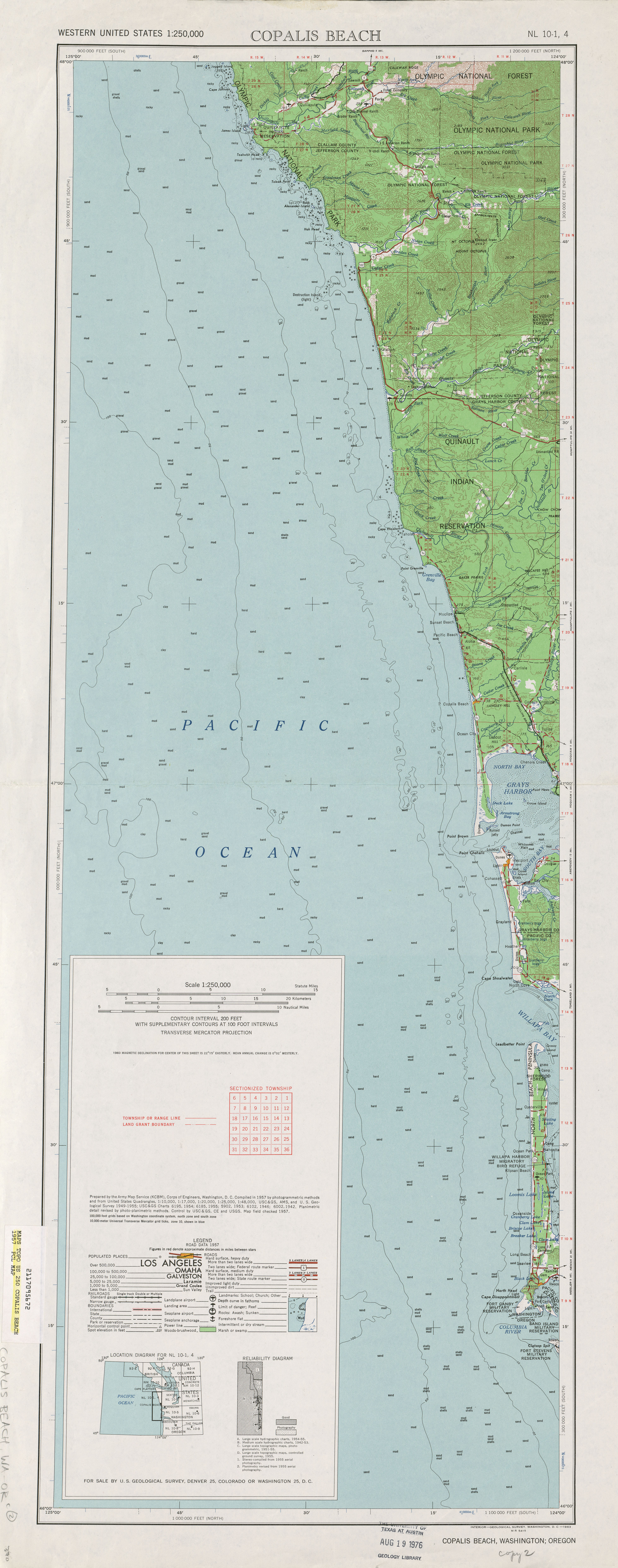
- ↑ Copalis Bridge, 1957 (JPG) (Map). 1:250,000. United States Geological Survey. 1957. Retrieved February 4, 2013.
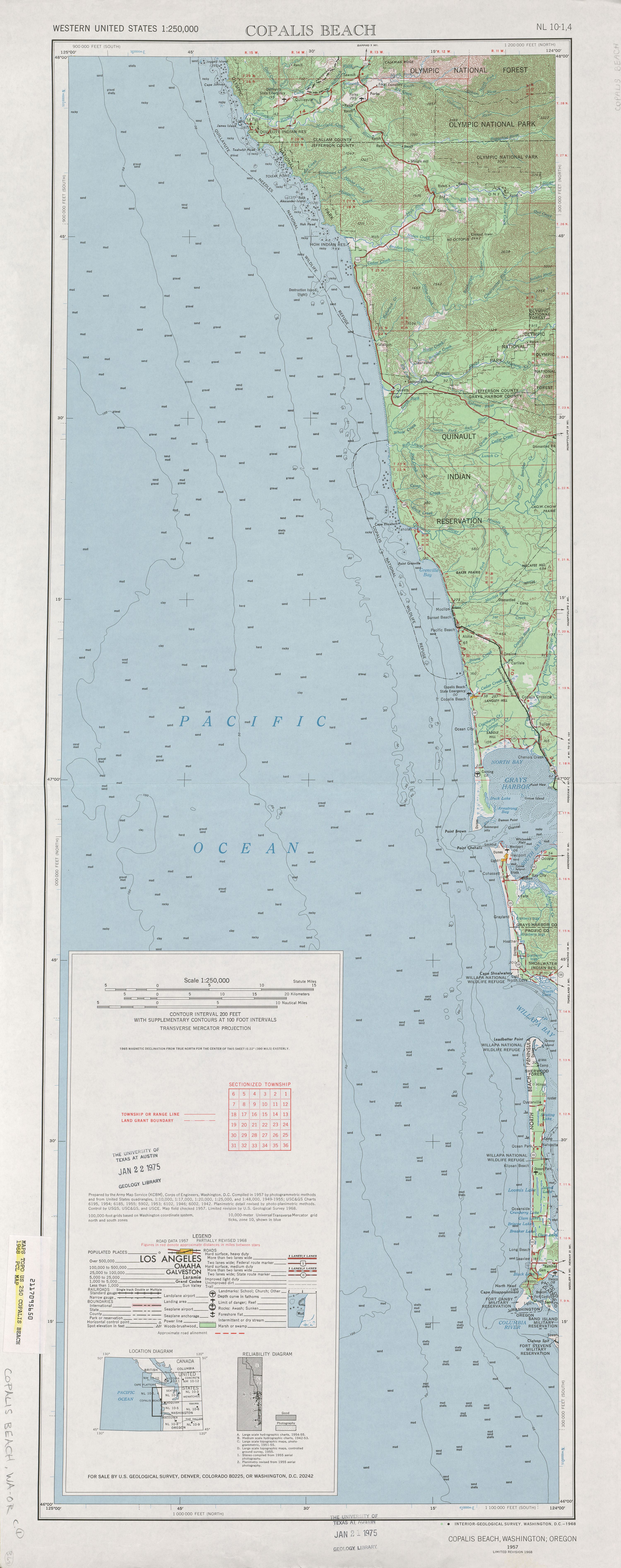
- ↑ Copalis Bridge, 1968 (JPG) (Map). 1:250,000. United States Geological Survey. 1968. Retrieved February 4, 2013.
- ↑ Washington State Highways, 2011–2012 (PDF) (Map). 1:842,000. Washington State Department of Transportation. 2011. Retrieved February 4, 2013.
External links
Route map: