Warrawong, New South Wales
| Warrawong Wollongong, New South Wales | |||||||||||||||
|---|---|---|---|---|---|---|---|---|---|---|---|---|---|---|---|
 | |||||||||||||||
|
Warrawong | |||||||||||||||
| Coordinates | 34°29′04″S 150°53′15″E / 34.48444°S 150.88750°ECoordinates: 34°29′04″S 150°53′15″E / 34.48444°S 150.88750°E | ||||||||||||||
| Population | 4,752 (2016 census)[1] | ||||||||||||||
| Postcode(s) | 2502 | ||||||||||||||
| LGA(s) | City of Wollongong | ||||||||||||||
| State electorate(s) | Wollongong | ||||||||||||||
| Federal Division(s) | Whitlam | ||||||||||||||
| |||||||||||||||
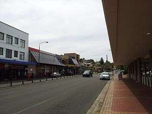
Warrawong is a suburb of Wollongong, in the Illawarra region of New South Wales, Australia. It is situated on the northeast corner of Lake Illawarra.
Warrawong is home to Warrawong Plaza, one of three major regional shopping centres. Other facilities include the Port Kembla Hospital, Hoyts cinemas, and the Gala cinemas.
History
Two meanings are given for the aboriginal word Warrawong, "a whiting" and the "side of a hill".[2]
Long a farming area, after the first land grants were made in the area in 1815, Warrawong began to be developed as a suburb only in the 1930s.[3]
Demographics
Warrawong has a high proportion of immigrants. Of a population of 4,752, (43.5%) were born overseas at the 2016 census.[1]
| Country of Birth | Number | Percentage of total inhabitants |
|---|---|---|
| Australia | 2,669 | 56.5% |
| Macedonia | 260 | 5.5% |
| Italy | 257 | 5.4% |
| Portugal | 180 | 3.8% |
| England | 122 | 2.4% |
| New Zealand | 73 | 1.5% |
References
- 1 2 Australian Bureau of Statistics (27 June 2017). "Warrawong (State Suburb)". 2016 Census QuickStats. Retrieved 16 July 2017.

- ↑ "Place Names of the Wollongong Region". Wollongong City Library. Archived from the original on December 30, 2008. Retrieved 2009-01-04.
- ↑ "Warrawong History". Wollongong City Library.
This article is issued from
Wikipedia.
The text is licensed under Creative Commons - Attribution - Sharealike.
Additional terms may apply for the media files.