Warninglid
| Warninglid | |
|---|---|
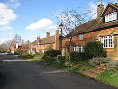 The Street, Warninglid | |
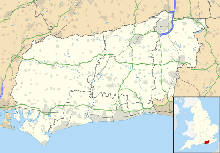 Warninglid Warninglid shown within West Sussex | |
| OS grid reference | TQ250261 |
| Civil parish | |
| District | |
| Shire county | |
| Region | |
| Country | England |
| Sovereign state | United Kingdom |
| Post town | HAYWARDS HEATH |
| Postcode district | RH17 |
| Dialling code | 01444 |
| Police | Sussex |
| Fire | West Sussex |
| Ambulance | South East Coast |
| EU Parliament | South East England |
| UK Parliament | |
Warninglid (historically known as Warninglyth and Warningeld[1]) is a small village in the Mid Sussex District of West Sussex, England. It lies on the B2115 road 5.5 miles (8.9 km) west of Haywards Heath. The name Warninglid is believed to originate from two words, Werna and Gelad (meaning "Werna's Path".)[2] It is in the civil parish of Slaugham.

At the centre of the village is a crossroads, and there sits the Half Moon public house.[3] A nearby village - Handcross - provides the post office and convenience store for the locals. Over the last quarter century the village has won the Best-Kept Village competition three times.[1]
There is one school serving Warninglid, namely Warninglid Primary School.[4] The school teaches 60 students and is led by Headteacher Marion West. [5]
References
- 1 2 "Warninglid - Slaugham Parish Council". Retrieved 2017-06-19.
- ↑ "Slaugham Walk Map" (PDF). Retrieved 2017-06-19.
- ↑ "The Half Moon pub". Retrieved 2017-06-19.
- ↑ "Welcome - Warninglid Primary School". Retrieved 2017-06-19.
- ↑ "Who's who - Warninglid Primary School". Retrieved 2017-06-19.
External links
![]()