Upper Saxondale
| Upper Saxondale | |
|---|---|
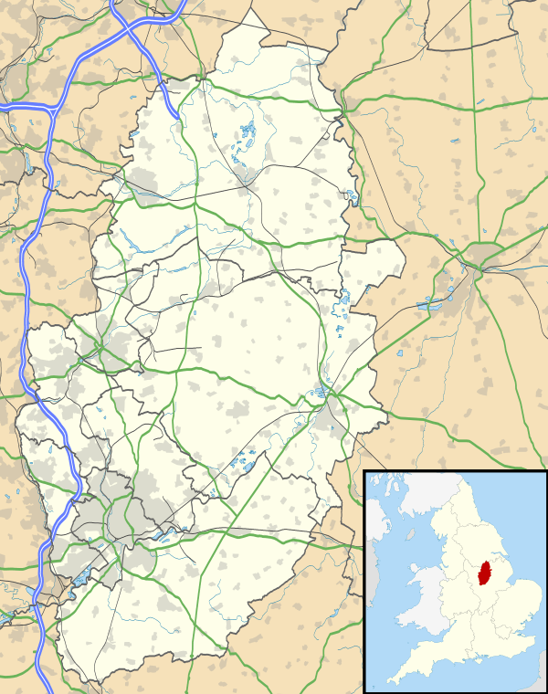 Upper Saxondale Upper Saxondale shown within Nottinghamshire | |
| District | |
| Shire county | |
| Region | |
| Country | England |
| Sovereign state | United Kingdom |
| Post town | NOTTINGHAM |
| Postcode district | NG12 |
| Dialling code | 0115 |
| Police | Nottinghamshire |
| Fire | Nottinghamshire |
| Ambulance | East Midlands |
| EU Parliament | East Midlands |
| UK Parliament | |
Upper Saxondale is a residential area mainly in the parish of Radcliffe on Trent, in the Nottinghamshire borough of Rushcliffe. A section also falls within the parish of Cropwell Butler. Upper Saxondale lies in an upland area between the River Trent and the Vale of Belvoir, and between the A52 and A46 roads, close to their junction at Saxondale Roundabout near Bingham. The nearby hamlet of Saxondale was the site of an Anglo-Saxon fort and earthworks, visible from the A52.
Growth and features
Upper Saxondale was developed on the site of the former Saxondale Hospital[1] by David Wilson Homes from about 1995 to 2001. It includes some 350 dwellings, ranging from three-bedroom converted hospital buildings to newly built five to six-bedroom detached houses. There is also a restaurant-bar called Sanctuary, a hairdresser, tennis club and bowling green. The estate is surrounded by parkland, much of it owned by Upper Saxondale Residents' Association.[2]
Upper Saxondale has a designated conservation area of 30 hectares. The boundary of this encompasses the former Saxondale Hospital site and includes extensive semi-wooded grounds, parkland landscape and fine trees.
The chapel was built in 1902 to the designs of E. W. Roberts, then County Architect, for use by hospital staff and patients. The small Gothic Revival building is home to the Catalyst Church (part of Christian Growth International).
David Wilson Homes originally called the development St James Park, but a change of name to Upper Saxondale was voted at a Residents' Association meeting in 1999. Upper Saxondale also includes original houses in Saxondale Drive, which are not part of the development.
Today the site is a blend of old and new. The conversions of the Victorian buildings, the mature parkland, its core of community buildings and its public open spaces amount to a residential area of an unusual character and quality.
The rare Flame Brocade moth (Trigonophora flammea) has been spotted at Upper Saxondale.
There are several ghost stories relating to the area. One has a troop of Roman soldiers marching up Henson Lane. The ghost of Lady Elinor Denison is said to haunt the grounds.
King Henry VII is said to have camped on land to the west during the Battle of Stoke Field.
A RAF bomber crashed close to Upper Saxondale during the Second World War. The site is marked by five mature trees set out in the shape of a cross in the middle of a field close to the main Saxondale Drive. The impact made a slight hollow and piles of earth are still clearly visible. The site was originally marked with a memorial stone, although this has now been removed.
References
- ↑ "Saxondale Hospital". County Asylums. Retrieved 2007-08-10.
- ↑ "Upper Saxondale Residents Association". Retrieved 2007-08-10.
External links
| Unitary authorities | |
|---|---|
| Boroughs or districts | |
| Major settlements | |
| Topics | |