Uíge
Coordinates: 7°37′S 15°03′E / 7.617°S 15.050°E
| Uíge | |
|---|---|
| Municipality and town | |
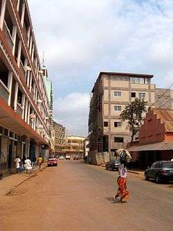 Main street in Uíge | |
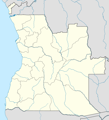 Uíge Location in Angola | |
| Coordinates: 7°37′S 15°03′E / 7.617°S 15.050°E | |
| Country |
|
| Province | Uíge Province |
| Founded | 1946 |
| Elevation | 858 m (2,815 ft) |
| Population (2016) | |
| • Total | 119,815 |
| Time zone | UTC+1 (WAT) |
| Climate | Aw |
Uíge (1955-75 Carmona) is a provincial capital city in northwestern Angola located in the province of the same name. It grew from a small market centre in 1945 to become a city in 1956.
Name
Uíge was renamed[1] Vila Marechal Carmona in 1955 after the former Portuguese President Óscar Carmona, renamed simply Carmona after it became a city, but changed back to Uíge in 1975.
History
During Portuguese occupation it was a major center for coffee production in the 1950s.[2] The city was the nerve center of rebel activity against Portuguese occupation. Consequently, the city faced frequent guerrilla war between Portuguese forces and the National Front for the Liberation of Angola (Frente Nacional de Libertação de Angola; FNLA).[3]
It had the worst known ever outbreak of the Marburg virus in 2005.
Demographics
In 2010 it had a population of 119,815. In 2017 the population was 60,008.[4]
References
- ↑ Eribo, Festus (1997). Press freedom and communication in Africa. Africa World Press. pp. 330–. ISBN 978-0-86543-551-3. Retrieved 22 January 2011.
- ↑ "Uige". Encyclopædia Britannica. Retrieved 21 January 2011.
- ↑ "City councils of Angola". Statoids. Retrieved 9 April 2009.
- ↑ "Population of Cities in Angola (2017)". worldpopulationreview.com. Retrieved 2017-12-05.