Matala, Angola
| Matala | |
|---|---|
| Municipality and town | |
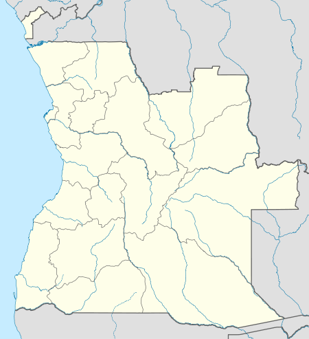 Matala Location in Angola | |
| Coordinates: 14°44′S 15°02′E / 14.733°S 15.033°E | |
| Country |
|
| Province | Huíla |
| Time zone | UTC+1 (WAT) |
| Climate | Cwa |
Matala is a town and municipality in the province of Huíla, Angola.[1]
Matala is situated along the Kunene River at an elevation of approximately 1300 metres above sea level; the Matala Weir is positioned at this point along the river.[2]
Transport
It lies on the southern line of Angolan Railways.
See also
References
- ↑ "City councils of Angola". Statoids. Retrieved April 9, 2009.
- ↑ C.Michael Hogan. 2012. Kunene River. eds. P.Saundry & C.Cleveland. Encyclopedia of Earth. National Council for Science and the Environment. Washington DC.
Coordinates: 14°44′00″S 15°02′00″E / 14.73333°S 15.03333°E
Capital: Lubango | |
| Lubango | |
| Caconda | |
| Cacula |
|
| Caluquembe | |
| Chibia | |
| Chicomba | |
| Chipindo | |
| Cuvango | |
| Gambos | |
| Humpata | |
| Jamba | |
| Matala | |
| Quilengues | |
| Quipungo | |
| Authority control |
|---|
This article is issued from
Wikipedia.
The text is licensed under Creative Commons - Attribution - Sharealike.
Additional terms may apply for the media files.