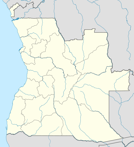
Catabola
| Catabola | |
|---|---|
| Municipality and town | |
 Catabola Location in Angola | |
| Coordinates: 12°7′S 17°18′E / 12.117°S 17.300°ECoordinates: 12°7′S 17°18′E / 12.117°S 17.300°E | |
| Country |
|
| Province | Bié Province |
| Area | |
| • Total | 1,169 sq mi (3,028 km2) |
| Time zone | UTC+1 (WAT) |
| Climate | Cwb |
Catabola is a town and municipality in Bié Province in central Angola.[1][2] It is located 52.5 kilometres (32.6 mi) by road northeast of Kuito, on the road to Camacupa.
History
Before 1975 the main town was known as "Nova Sintra".[3] On 20 February 1996, the Forças Armadas de Angola (FAA) attacked a UNITA garrison in Lisusu, about 15 kilometres (9.3 mi) from Catabola.[4] It was captured along with towns such as Andulo, Bailundo, Camapuca and Chiguar during the FAA Christmas Offensive of December 1999.[5][6] Numerous local government officials and sympathizers of the government were killed during the attack.[5]
References
- ↑ "City councils of Angola". Statoids. Retrieved April 7, 2009.
- ↑ "Angola". Censo 2014. Retrieved 12 June 2018.
- ↑ Tropical health: a report on a study of needs and resources. National Research Council (U.S.). Division of Medical Academies. 1962. p. 151. NAP:14018.
- ↑ Daily Report. Africa (Sub-Sahara). Foreign Broadcast Information Service. 1996. p. 15.
- 1 2 Vines, Alex (1999). Angola Unravels: The Rise and Fall of the Lusaka Peace Process. Human Rights Watch. p. 79. ISBN 978-1-56432-233-3.
- ↑ James, W. Martin (5 May 2011). Historical Dictionary of Angola. Scarecrow Press. p. 195. ISBN 978-0-8108-7458-9.
This article is issued from
Wikipedia.
The text is licensed under Creative Commons - Attribution - Sharealike.
Additional terms may apply for the media files.