Topaipí
| Topaipí | |||
|---|---|---|---|
| Municipality and town | |||
.jpg) | |||
| |||
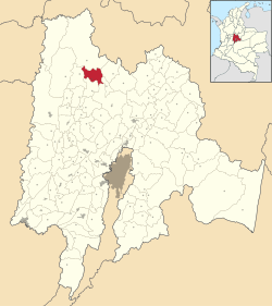 Location of the municipality and town inside Cundinamarca Department of Colombia | |||
 Topaipí Location in Colombia | |||
| Coordinates: 5°20′N 74°18′W / 5.333°N 74.300°WCoordinates: 5°20′N 74°18′W / 5.333°N 74.300°W | |||
| Country |
| ||
| Department |
| ||
| Area | |||
| • Total | 150 km2 (60 sq mi) | ||
| Elevation | 1,323 m (4,341 ft) | ||
| Population (2015) | |||
| • Total | 4,529 | ||
| • Density | 30/km2 (78/sq mi) | ||
| Time zone | UTC-5 (Colombia Standard Time) | ||
.svg.png)

Topaipí is a municipality and town of Colombia in the department of Cundinamarca.
External links
| Wikimedia Commons has media related to Topaipí. |
This article is issued from
Wikipedia.
The text is licensed under Creative Commons - Attribution - Sharealike.
Additional terms may apply for the media files.