Thoroton
| Thoroton | |
|---|---|
 The church tower and steeple | |
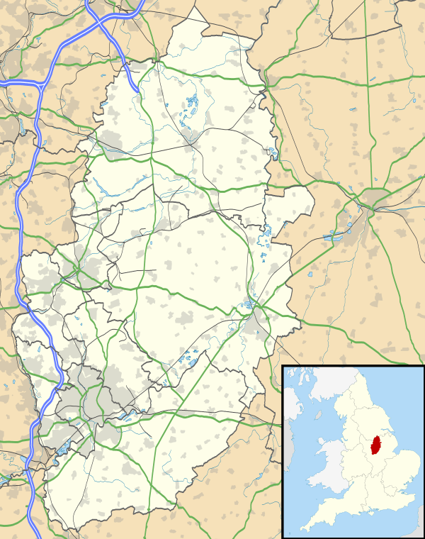 Thoroton Thoroton shown within Nottinghamshire | |
| Population | 112 (2011) |
| OS grid reference | SK764425 |
| District | |
| Shire county | |
| Region | |
| Country | England |
| Sovereign state | United Kingdom |
| Post town | NOTTINGHAM |
| Postcode district | NG13 |
| Dialling code | 01949 |
| Police | Nottinghamshire |
| Fire | Nottinghamshire |
| Ambulance | East Midlands |
| EU Parliament | East Midlands |
Thoroton is a small English village located in Thoroton parish in the borough of Rushcliffe, Nottinghamshire. It has conservation area status and its parish church is a Grade I listed building.
Geography
Thoroton lies along the banks of the River Smite, about 15 miles (24 km) east of Nottingham, 4 miles (6.4 km) north-east of Bingham, and adjacent to Scarrington, Hawksworth, Sibthorpe, Orston and Aslockton. Thoroton has a population of 112.[1] It is bounded by the Fosse Way – A46 – 3 miles (4.8 km) to the west, the A1 3 miles (4.8 km) to the east, and the A52 2 miles (3.2 km) further south.
Heritage
Thoroton and was granted conservation area status in 1974. It is served by St Helena's Church, which is a Grade I listed building.[2]
The place name seems to contain an Old Norse personal name Þurferð + tūn (Old English), an enclosure; a farmstead; a village; an estate; thus "Farm of a man called Thurferth".[3] There are 19 such place names (Scandinavian personal name followed by tūn ) in Nottinghamshire, all of them in the Domesday survey, and all apparently ancient villages.[4]
Charles Falconer, Baron Falconer of Thoroton takes his name from part of his wife's name and her family home is near Thoroton.[5] The family also owns property in the village, which is let.
Amenities
Thoroton is served by buses to Bottesford, Bingham and nearby villages on Tuesdays and to Newark-on-Trent, Bottesford and nearby villages on Wednesdays.[6]
The nearest railway station is at Aslockton (2.2 miles, 3.5 km), with regular daily services to Nottingham, Grantham and beyond.[7]
There are shopping and other services at Newark-on-Trent (9 miles, 14.5 km), Bingham (6 miles, 10 km) and Bottesford (5 miles, 8 km). The nearest pubs are the Cranmer Arms in Aslockton and the Durham Ox in Orston (both 2 miles, 3.2 km). Both serve meals, as does the Limehaus café in Orston.[8]
References
- ↑ "Civil parish 2011". Neighbourhood Statistics. Office for National Statistics. Retrieved 16 April 2016.
- ↑ List of listeds Retrieved 19 July 2018.
- ↑ J. Gover, A. Mawer and F. M. Stenton (eds.), Place Names of Nottinghamshire (Cambridge, 1940), p. 229; A. D. Mills, Dictionary of English Place-Names (Oxford, 2002), p. 345; E. Ekwall, Concise Oxford Dictionary of English Place-names (Oxford, 1960), p. 229.
- ↑ J. Gover et al, p. xviii.
- ↑ The Domesday bloke, The Guardian, Retrieved 3 August 2015
- ↑ Bus times Retrieved 16 July 2018.
- ↑ Trainline Retrieved 16 July 2018.
- ↑ ; ; Retrieved 16 July 2018.
External links
![]()