The Skerries (Victoria)
 The Skerries | |
| Etymology | Skerry |
|---|---|
| Geography | |
| Location | Bass Strait |
| Coordinates | 37°45′19″S 149°31′05″E / 37.7551389°S 149.5179167°ECoordinates: 37°45′19″S 149°31′05″E / 37.7551389°S 149.5179167°E |
| Length | 350 m (1,150 ft)[1] |
| Width | 200 m (700 ft)[1] |
| Administration | |
|
Australia | |
| State | Victoria |
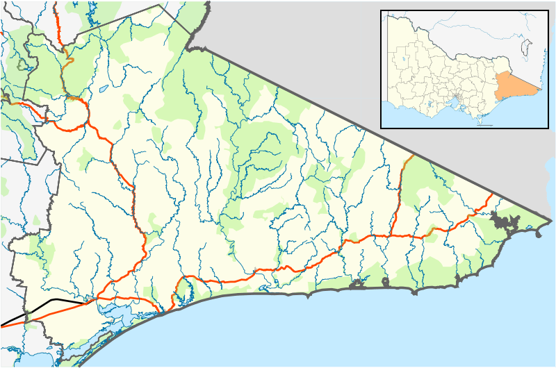
The Skerries comprise three small, rocky islands 100 metres (330 ft) offshore from the mouth of the Wingan River, in East Gippsland, Victoria, Australia.[1]
The islands are with Croajingolong National Park. They are the site of a significant Australian fur seal colony, with an estimated 14000 seals (12.4% of the population) in 2010. [2]
References
- 1 2 3 Barton, D. (November 1980). "Seabird islands No 81, The Skerries Rocks, Victoria" (PDF). Corella. 4 (4): 67–68.
- ↑ Kirkwood, Roger; Pemberton, David; Gales, Rosemary; Hoskins, Andrew J.; Mitchell, Tony; Shaughnessy, Peter D.; Arnould, John P. Y. (2010). "Continued population recovery by Australian fur seals". Marine and Freshwater Research. 61 (6): 695–701. doi:10.1071/MF09213.
Islands of Victoria, Australia | |||||||||||
|---|---|---|---|---|---|---|---|---|---|---|---|
| Islands off East Gippsland | |||||||||||
| Islands within Corner Inlet |
| ||||||||||
| Islands off Wilsons Promontory |
| ||||||||||
| Islands within Western Port | |||||||||||
| Islands within Port Phillip | |||||||||||
| Islands within Bass Strait and the Great Australian Bight | |||||||||||
| River islands | |||||||||||
| |||||||||||
This article is issued from
Wikipedia.
The text is licensed under Creative Commons - Attribution - Sharealike.
Additional terms may apply for the media files.