Texas State Highway 41
| ||||
|---|---|---|---|---|
 | ||||
| Route information | ||||
| Maintained by TxDOT | ||||
| Length | 50.5 mi[1] (81.3 km) | |||
| Existed | 1919–present | |||
| Major junctions | ||||
| West end |
| |||
|
| ||||
| East end |
| |||
| Highway system | ||||
| ||||

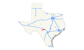
State Highway 41 is a state highway that runs through the Texas Hill Country in Kerr, Real, and Edwards Counties.
History

SH 41 was proposed on April 22, 1919 as a route from Del Rio to Rocksprings to Kerrville to Boerne.[2] On August 21, 1923, the highway had been shortened at both ends, now starting north of Del Rio and ending at Mountain Home, with the eastern section being transferred to SH 27. On May 23, 1951, the western section was transferred to U.S. Highway 377, shortening the route to its present length. On May 1, 1972, SH 41 extended from SH 27 to I-10.
Major intersections
| County | Location | mi | km | Destinations | Notes |
|---|---|---|---|---|---|
| Edwards | Rocksprings | ||||
| Real | | ||||
| Kerr | Mountain Home | ||||
| I-10 exit 490 | |||||
| 1.000 mi = 1.609 km; 1.000 km = 0.621 mi | |||||
References
- ↑ Texas Department of Transportation,
- ↑ (PDF) https://publicdocs.txdot.gov/minord/MinuteOrderDocLib/003676796.pdf. Missing or empty
|title=(help)
This article is issued from
Wikipedia.
The text is licensed under Creative Commons - Attribution - Sharealike.
Additional terms may apply for the media files.