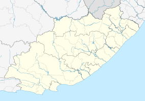
Tentergate
| Tentergate | |
|---|---|
 Tentergate  Tentergate Tentergate (South Africa)  Tentergate Tentergate (Africa) | |
| Coordinates: 32°05′24″S 26°27′40″E / 32.090°S 26.461°ECoordinates: 32°05′24″S 26°27′40″E / 32.090°S 26.461°E | |
| Country | South Africa |
| Province | Eastern Cape |
| District | Chris Hani |
| Municipality | Tsolwana |
| Area[1] | |
| • Total | 6.08 km2 (2.35 sq mi) |
| Population (2011)[1] | |
| • Total | 5,187 |
| • Density | 850/km2 (2,200/sq mi) |
| Racial makeup (2011)[1] | |
| • Black African | 99.3% |
| • Coloured | 0.2% |
| • Indian/Asian | 0.1% |
| • Other | 0.4% |
| First languages (2011)[1] | |
| • Xhosa | 94.5% |
| • English | 1.2% |
| • Other | 4.3% |
| Time zone | UTC+2 (SAST) |
Tentergate is a town in Chris Hani District Municipality in the Eastern Cape province of South Africa.
Tentergate was established in 1976, as a relocation camp for the people who fled Herschel ahead of its incorporation into an independent Transkei.[2]
References
- 1 2 3 4 "Main Place Tentergate". Census 2011.
- ↑ "Headman Thembilizwe Dywasha Assassination Site". Liberation Heritage Route South Africa. Retrieved 29 August 2014.
This article is issued from
Wikipedia.
The text is licensed under Creative Commons - Attribution - Sharealike.
Additional terms may apply for the media files.
.svg.png)