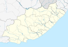
Imvani
| Imvani | |
|---|---|
 Imvani  Imvani Imvani (South Africa)  Imvani Imvani (Africa) | |
| Coordinates: 31°57′14″S 26°58′30″E / 31.954°S 26.975°ECoordinates: 31°57′14″S 26°58′30″E / 31.954°S 26.975°E | |
| Country | South Africa |
| Province | Eastern Cape |
| District | Chris Hani |
| Municipality | Enoch Mgijima |
| Area[1] | |
| • Total | 0.50 km2 (0.19 sq mi) |
| Population (2011)[1] | |
| • Total | 460 |
| • Density | 920/km2 (2,400/sq mi) |
| Racial makeup (2011)[1] | |
| • Black African | 99.6% |
| • Other | 0.4% |
| First languages (2011)[1] | |
| • Xhosa | 91.3% |
| • English | 3.5% |
| • Zulu | 1.5% |
| • S. Ndebele | 1.3% |
| • Other | 2.4% |
| Time zone | UTC+2 (SAST) |
Imvani is a settlement some 30 km north of Cathcart and 30 km west of St Marks. It takes its name from the river nearby which in turn was named after a type of wild asparagus, A. stipulacens, the roots of which are eaten either raw or cooked. The form iMvani has been approved.[2]
References
- 1 2 3 4 "Main Place Imvani". Census 2011.
- ↑ Raper, Peter E. (1987). Dictionary of Southern African Place Names. Internet Archive. p. 222. Retrieved 28 August 2013.
This article is issued from
Wikipedia.
The text is licensed under Creative Commons - Attribution - Sharealike.
Additional terms may apply for the media files.
.svg.png)