Tayr Debba
| Tayr Debba طير دبّا | |
|---|---|
| Village | |
 Tayr Debba | |
| Coordinates: 33°16′27″N 35°16′43″E / 33.27417°N 35.27861°E | |
| Grid position | 176/297 PAL |
| Country |
|
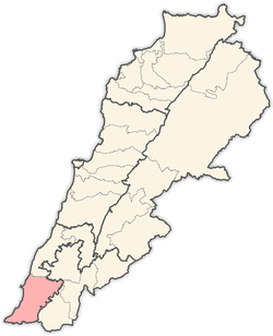
| Governorate | South |
| District | Tyre |
| Area | |
| • Total | 2.23 sq mi (5.78 km2) |
| Elevation | 700 ft (200 m) |
| Highest elevation | 1,380 ft (420 m) |
| Time zone | GMT +3 |
Tayr Debba (Arabic: طير دبّا) is a village in the Tyre District in the South Governorate of Lebanon, located 88 kilometers south of Beirut.[1] Its total land area consists of 578 hectares and its average elevation is 200 meters above sea level.[1] There are two schools, one public and the other private, in Tayr Debba which collectively enrolled a total of 607 students in 2006.[1]
Name
According to E. H. Palmer, Teir Dubbeh means "the fortress of the bear".[2]
History
In 1881, the Palestine Exploration Fund's Survey of Western Palestine (SWP) described it: "A village built of stone, containing 250 Metawileh, situated on a ridge surrounded by olives and fig-trees and arable land. There are three cisterns in the village."[3]
Tayr Debba is the hometown of the Hezbollah commander Imad Mughniyeh, who was assassinated in 2008.[4]
References
- 1 2 3 "Tayr Debba". Localiban. Localiban. 2008-04-26. Retrieved 2016-09-26.
- ↑ Palmer, 1881, p. 11
- ↑ Conder and Kitchener, 1881, SWP I, p. 51
- ↑ Killed Hezbollah Man Revered in Hometown. Associated Press. 2008-02-10. Retrieved on 2016-09-26.
Bibliography
- Conder, C.R.; Kitchener, H.H. (1881). The Survey of Western Palestine: Memoirs of the Topography, Orography, Hydrography, and Archaeology. 1. London: Committee of the Palestine Exploration Fund.
- Palmer, E.H. (1881). The Survey of Western Palestine: Arabic and English Name Lists Collected During the Survey by Lieutenants Conder and Kitchener, R. E. Transliterated and Explained by E.H. Palmer. Committee of the Palestine Exploration Fund.
External links
- Survey of Western Palestine, Map 1: IAA, Wikimedia commons
Capital: Tyre | ||
| Towns and villages |
|  |