Taypi Qullu (Sabaya)
| Taypi Qullu | |
|---|---|
 Taypi Qullu Location in Bolivia | |
| Highest point | |
| Elevation | 4,600 m (15,100 ft) |
| Coordinates | 18°54′43″S 68°52′38″W / 18.91194°S 68.87722°WCoordinates: 18°54′43″S 68°52′38″W / 18.91194°S 68.87722°W |
| Geography | |
| Location | Bolivia, Oruro Department, Sabaya Province |
| Parent range | Andes, Cordillera Occidental |
Taypi Qullu (Aymara taypi center, middle, qullu mountain,[1] "center mountain", hispanicized spelling Taypi Kkollu) is a mountain in the Cordillera Occidental in the Andes of Bolivia, about 4,600 metres (15,092 ft) high. It is located in the Oruro Department, Sabaya Province, Sabaya Municipality, Parajaya Canton, near the border with Chile. Taypi Qullu lies south-east of the mountain Lliscaya and south-west of the mountains Laram Pukara and Kimsa Chata.[2]
References
- ↑ Radio San Gabriel, "Instituto Radiofonico de Promoción Aymara" (IRPA) 1993, Republicado por Instituto de las Lenguas y Literaturas Andinas-Amazónicas (ILLLA-A) 2011, Transcripción del Vocabulario de la Lengua Aymara, P. Ludovico Bertonio 1612 (Spanish-Aymara-Aymara-Spanish dictionary)
- ↑ "Sabaya". Retrieved August 13, 2014.
Capital: Oruro | ||
| Provinces | 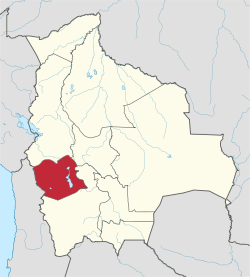 | |
| Municipalities (and seats) |
| |
This article is issued from
Wikipedia.
The text is licensed under Creative Commons - Attribution - Sharealike.
Additional terms may apply for the media files.