Tayk
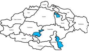
Historical regions of Greater Armenia
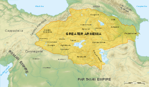
Arshakuni Armenia in 150
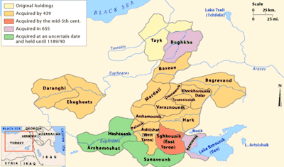
Map showing Tayk of the house of Mamkionians.
Tayk (Armenian: Տայք, Armenian pronunciation: [tajkʰ] Taykʿ), was a historical province of the Greater Armenia, one of its 15 ashkars (worlds). Tayk consisted of 8 cantons:
- Kogh
- Berdats por
- Partizats por
- Tchakatk
- Bokha
- Vokaghe
- Azordats por
- Arsiats por.
In the Middle Ages, Tayk or Tao became part of the Georgian kingdom of Tao-Klarjeti. The Tayk province covered contemporary Turkish districts of Yusufeli (Kiskim) in Artvin Province and Oltu, Olur (Tavusker), Tortum and Çamlıkaya (Hunut) to the north of İspir in Erzurum Province. To its southwest is found the ancient region of Sper. After World War I, Armenia and Georgia had contested the region, with particular conflict over Oltisi. As a result, Turkish rule was firmly reestablished.
Sources
- Arutyunova-Fidanyan, Viada A., Some Aspects of the Military-Administrative Districts and Byzantine Administration in Armenia During the 11th Century, REArm 20, 1986-87: 309-20.
- Garsoian, Nina. The Byzantine Annexation of the Armenian Kingdoms in the Eleventh Century, 192 p. In: The Armenian People from Ancient to Modern Times, vol. 1, edited by Richard G. Hovannisian, St. Martin’s Press, New York, 1977.
- Hewsen, Robert. Armenia. A Historical Atlas. The University of Chicago Press, Chicago, 2001, Pp 341.
- Tayk - Tayots Ashhar (Тайк - Тайоц ашхар)
See also
References
Historical states and regions of Armenia | ||
|---|---|---|
| Independent Armenian states |
|  |
| Minor or dependent Armenian states |
| |
| Provinces or Ashkhars of Armenia Major | ||
| Other Armenian regions |
| |
| Other provinces under Tigranes the Great | ||
Coordinates: 40°38′N 41°53′E / 40.633°N 41.883°E
This article is issued from
Wikipedia.
The text is licensed under Creative Commons - Attribution - Sharealike.
Additional terms may apply for the media files.