Taroudant Airport
| Taroudant Airport | |||||||||||
|---|---|---|---|---|---|---|---|---|---|---|---|
| Summary | |||||||||||
| Airport type | Public | ||||||||||
| Serves | Taroudant | ||||||||||
| Elevation AMSL | 869 ft / 265 m | ||||||||||
| Coordinates | 30°30′09″N 8°49′25″W / 30.50250°N 8.82361°WCoordinates: 30°30′09″N 8°49′25″W / 30.50250°N 8.82361°W | ||||||||||
| Map | |||||||||||
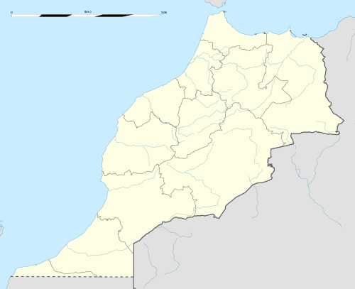 GMMO | |||||||||||
| Runways | |||||||||||
| |||||||||||
Taroudant Airport (ICAO: GMMO) is an airport serving Taroudant, Morocco.
The airport is mainly used for skydiving; the airport has a school to teach skydiving skills and also has a small hangar for the planes used for this sport. The local authorities are planning to invest more in the airport such as paving the current runway to encourage tourism and skydiving in the city.
See also

- Transport in Morocco
- List of airports in Morocco
References
- ↑ Google Maps - Taroudant
- ↑ Airport information for Taroudant at Great Circle Mapper.
External links
This article is issued from
Wikipedia.
The text is licensed under Creative Commons - Attribution - Sharealike.
Additional terms may apply for the media files.