Cherif Al Idrissi Airport
| Cherif Al Idrissi Airport مطار الشريف الإدريسي | |||||||||||
|---|---|---|---|---|---|---|---|---|---|---|---|
 | |||||||||||
| Summary | |||||||||||
| Airport type | Public | ||||||||||
| Operator | ONDA | ||||||||||
| Serves | Al Hoceima, Morocco | ||||||||||
| Elevation AMSL | 95 ft / 29 m | ||||||||||
| Coordinates | 35°10′37″N 003°50′22″W / 35.17694°N 3.83944°WCoordinates: 35°10′37″N 003°50′22″W / 35.17694°N 3.83944°W | ||||||||||
| Map | |||||||||||
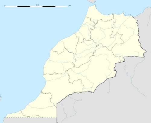 AHU Location of the airport in Morocco | |||||||||||
| Runways | |||||||||||
| |||||||||||
Cherif Al Idrissi Airport (Arabic: مطار الشريف الإدريسي) (IATA: AHU, ICAO: GMTA) is an airport serving Al Hoceima, Morocco.[1] It is the second-busiest airport in the Tanger-Tetouan-Al Hoceima region of northern Morocco. The airport is named after the 12th century CE Arab geographer and cartographer Al-Idrisi.
Facilities
The airport resides at an elevation of 95 feet (29 m) above mean sea level. It has one runway designated 17/35 with an asphalt surface measuring 2,500 by 45 metres (8,202 ft × 148 ft).[1]
Airlines and destinations
| Airlines | Destinations |
|---|---|
| Brussels Airlines | Charter: Brussels[3] |
| Cobrex Trans | Charter: Brussels, Rotterdam |
| Royal Air Maroc | Amsterdam, Brussels, Casablanca, Tangier, Tetouan[4] |
| Small Planet Airlines | Charter: Amsterdam |
| Transavia | Rotterdam Charter: Amsterdam[5] |
| TUI fly Belgium | Seasonal: Charleroi |
References
- 1 2 3 Airport information for GMTA from DAFIF (effective October 2006)
- ↑ Airport information for AHU at Great Circle Mapper. Source: DAFIF (effective October 2006).
- ↑ "Archived copy". Archived from the original on 2015-09-29. Retrieved 2015-09-30.
- ↑ http://airlineroute.net/2015/05/21/at-jun-jun15/
- ↑ http://mltours.nl Archived 2015-09-29 at the Wayback Machine.
External links
This article is issued from
Wikipedia.
The text is licensed under Creative Commons - Attribution - Sharealike.
Additional terms may apply for the media files.