Taza Airport
| Taza Airport | |||||||||||
|---|---|---|---|---|---|---|---|---|---|---|---|
| Summary | |||||||||||
| Airport type | Public | ||||||||||
| Serves | Taza | ||||||||||
| Elevation AMSL | 1,890 ft / 576 m | ||||||||||
| Coordinates | 34°13′55″N 3°57′0″W / 34.23194°N 3.95000°WCoordinates: 34°13′55″N 3°57′0″W / 34.23194°N 3.95000°W | ||||||||||
| Map | |||||||||||
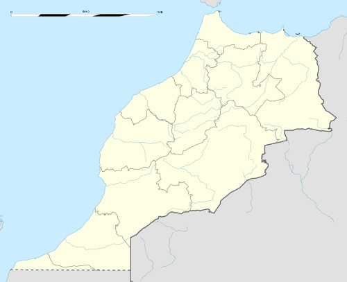 Taza | |||||||||||
| Runways | |||||||||||
| |||||||||||
|
Source: Google Maps[1] | |||||||||||
Taza Airport (ICAO: GMFZ) is an airport serving Taza, Morocco. It currently serves small airplanes of less than 5,700 kg and is mainly used by the fire-fighters brigade for forest fires and pesticide distribution.[2]
See also
- Transport in Morocco


References
- ↑ Google Maps - Taza
- ↑ "Taza: Projet d'aéroport sur le tapis". L'Economiste. 26 April 2002. Retrieved 9 June 2014.
- OurAirports - Taza
- Great Circle Mapper - Taza
- Google Earth
External links
This article is issued from
Wikipedia.
The text is licensed under Creative Commons - Attribution - Sharealike.
Additional terms may apply for the media files.