Taraš
| Taraš Тараш | |
|---|---|
| Village | |
 The Orthodox Church | |
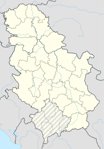 Taraš Location of Taraš within Serbia | |
| Coordinates: 45°28′03″N 20°11′32″E / 45.46750°N 20.19222°ECoordinates: 45°28′03″N 20°11′32″E / 45.46750°N 20.19222°E | |
| Country | Serbia |
| Province | Vojvodina |
| District | Central Banat |
| Elevation | 72 m (236 ft) |
| Population (2002) | |
| • Taraš | 1,140 |
| Time zone | UTC+1 (CET) |
| • Summer (DST) | UTC+2 (CEST) |
| Postal code | 23209 |
| Area code(s) | +381(0)23 |
| Car plates | ZR |
Taraš (Serbian Cyrillic: Тараш) is a village located in the Zrenjanin municipality, in the Central Banat District of Serbia. It is situated in the Autonomous Province of Vojvodina. The village has a Serb ethnic majority (96.49%) and its population numbering 1,140 people (2002 census).
Names
Names in other languages: German: Tarrasch, Hungarian: Tiszatarrós.
Historical population
- 1821: 1,040
- 1825: 1,047
- 1863: 1,092
- 1868: 1,424
- 1880: 1,356
- 1910: 1,887
- 1921: 2,091
- 1931: 2,148
- 1939: 2,363
- 1948: 1,956
- 1953: 1,956
- 1961: 1,779
- 1971: 1,612
- 1981: 1,330
- 1991: 1,107
- 2002: 1,167
References
- Slobodan Ćurčić, Broj stanovnika Vojvodine, Novi Sad, 1996.
- Miodrag Dostanić, Mile Markov, To je Taraš: hronika dugovečnog sela, Zrenjanin, 2002.
See also
| Wikimedia Commons has media related to Taraš. |
This article is issued from
Wikipedia.
The text is licensed under Creative Commons - Attribution - Sharealike.
Additional terms may apply for the media files.